Get Full Government Meeting Transcripts, Videos, & Alerts Forever!
Get email alerts on the Telecommunications Tower topic
No spam. Unsubscribe anytime.
Planning commission tables proposed 300-foot CloudOne tower near Caledonia pending coverage maps
Summary
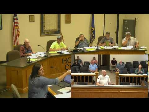
The Houston County Planning Commission heard a conditional-use application from CloudOne Services to build a 300-foot telecommunications tower outside Caledonia and voted to table its decision until the applicant provides propagation/coverage maps comparing the proposed site to an existing SBA tower about 0.5 miles away.
The Houston County Planning Commission on Aug. 14 heard an application from CloudOne Services, filed by GSS, for a conditional-use permit to build a 300-foot telecommunications tower at 12079 State Highway 44 just outside Caledonia. Mike Huizinga, project manager for GSS, said the tower is intended to serve up to four carriers and would include required FAA lighting and a fenced equipment compound. "CloudOne is proposing the construction of a 300 foot guide telecommunication tower ... and I'm here this evening to address any questions or concerns anyone may have regarding the proposal," Huizinga said.
Commission and public discussion focused on whether carriers could instead colocate on an existing nearby tower. Sean (Shawn) Welter, site marketing manager for SBA Communications Corporation, submitted a late comment and said SBA's nearby tower at 14109 State 76 can accommodate additional tenants and be modified to meet a carrier's needs. Trevor Oliver, an attorney for SBA, told the commission the company believes the existing tower is structurally capable of handling additional equipment and that maps his client provided show limited functional difference between the existing site and the proposed tower.
County staff explained the application was advertised and that written comments were accepted through Aug. 19 for the upcoming formal hearing. The commission reviewed staff findings (land-use plan conformity, water quality, soil, drainage, etc.) in a block vote and then discussed technical specifics including fall-zone engineering, fencing, lease terms and access easements. Huizinga told the commission the proposed tower is engineered to collapse within a 120-foot radius and that the nearest residence (landowners Allen and Barbara Schmitz) is approximately 250 feet from the tower base. He also said the proposed compound will use the landowners' driveway as part of an access/utility easement and that lease terms run 50 years.
Given SBA's assertion that its existing tower is about a half mile away and can accept new tenants, several commissioners asked for radio-frequency propagation, "before-and-after" coverage maps and available centerline data for the existing SBA tower so the commission could compare actual coverage and capacity rather than rely on assertions. "I would like to see that map of what we anticipate the benefit having another tower so close to another one would be," one commissioner said. The applicant said he could request the propagation maps from his client's radio-frequency engineers and provide them to the county.
After discussion the commission voted to table the request until the applicant provides the requested propagation/coverage comparisons and related technical data for review. The commission did not make a final decision on the conditional-use permit; staff and the applicant were directed to provide the additional radio-frequency materials before the matter is returned to the Planning Commission.