Get Full Government Meeting Transcripts, Videos, & Alerts Forever!
Planning Commission approves parcel map to split Holtville property
Summary
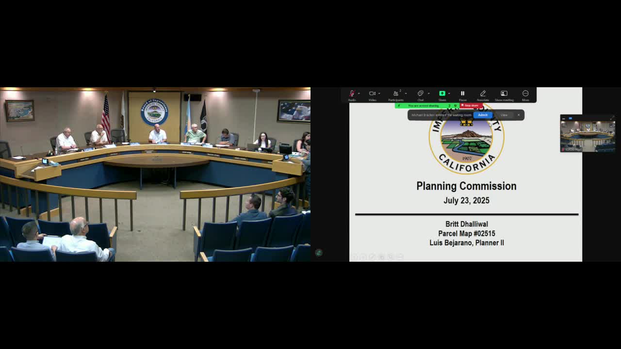
On July 23, 2025, the Imperial County Planning Commission approved Parcel Map 02515 to separate a residence from surrounding agricultural land at 2904 Holt Road in Holtville; staff adopted a negative declaration from the Environmental Evaluation Committee.
The Imperial County Planning Commission on July 23, 2025 approved Parcel Map 02515 to legally separate a house at 2904 Holt Road in Holtville from the adjoining agricultural land, allowing the residence to be conveyed separately from the farm property.
Planner Luz Vercano told commissioners that the site, identified by Assessor’s Parcel Numbers 045-020-056 and 045-020-057, is designated agriculture under the county general plan and zoned A-2/A-2R. Vercano said…
Already have an account? Log in
Subscribe to keep reading
Unlock the rest of this article — and every article on Citizen Portal.
- Unlimited articles
- AI-powered breakdowns of topics, speakers, decisions, and budgets
- Instant alerts when your location has a new meeting
- Follow topics and more locations
- 1,000 AI Insights / month, plus AI Chat