Get Full Government Meeting Transcripts, Videos, & Alerts Forever!
Get email alerts on the Parcel Map topic
No spam. Unsubscribe anytime.
Planning Commission approves parcel map to split Holtville property
Summary
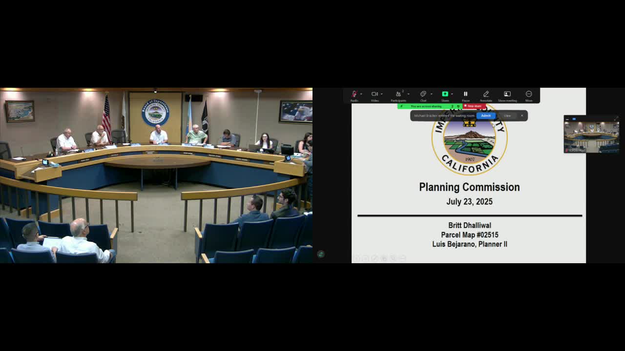
On July 23, 2025, the Imperial County Planning Commission approved Parcel Map 02515 to separate a residence from surrounding agricultural land at 2904 Holt Road in Holtville; staff adopted a negative declaration from the Environmental Evaluation Committee.
The Imperial County Planning Commission on July 23, 2025 approved Parcel Map 02515 to legally separate a house at 2904 Holt Road in Holtville from the adjoining agricultural land, allowing the residence to be conveyed separately from the farm property.
Planner Luz Vercano told commissioners that the site, identified by Assessor’s Parcel Numbers 045-020-056 and 045-020-057, is designated agriculture under the county general plan and zoned A-2/A-2R. Vercano said staff recommended adoption of a negative declaration, noting the Environmental Evaluation Committee found the project would not have a significant environmental effect at its June 12, 2025 meeting.
Vercano described the proposal as a legal recognition of an existing physical separation on the tract: Parcel 1 would total approximately 152.82 acres to remain in agricultural use, and Parcel 2 would total roughly 2.5 acres and contain the existing single-family residence built in 1956. Applicant Britt Dhalliwal told the commission the smaller parcel will return portions that are currently out of production to field use and said, "That area...it's not in production. That's gonna go back into production. It'll just be simply a field and a house." Dhalliwal also confirmed the lot lines shown in the map were correct.
A commissioner moved to recommend approval of the parcel map as recommended by staff and the commission voted to approve the map. The planning department advised that anyone wishing to appeal the commission’s decision may file an appeal in writing with the Planning and Development Services Department.
Staff materials and the commission’s action record the Environmental Evaluation Committee’s negative-declaration finding from June 12, 2025 as the environmental basis for approval; the commission’s approval is subject to the conditions attached to the resolution adopted with the map.