Get Full Government Meeting Transcripts, Videos, & Alerts Forever!
Get email alerts on the Flood Insurance Maps topic
No spam. Unsubscribe anytime.
Bradley County to place FEMA digital flood maps on Oct. 20 voting agenda; public hearing required
Summary
County planner Bentley Thomas told commissioners the new FEMA digital Flood Insurance Rate Maps add base flood elevation data and will reduce some building elevation requirements; the commission placed a resolution for a public hearing and the Oct. 20 voting session.
The Bradley County Commission on Oct. 13 heard from county planner Bentley Thomas about new digital Flood Insurance Rate Maps developed by the Federal Emergency Management Agency and the U.S. Army Corps of Engineers and agreed to place a resolution for a public hearing and vote on Oct. 20.
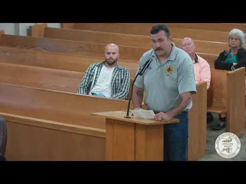
Bentley Thomas, county planner, told the commission the updated maps include base flood elevation data that the older maps lack and said that will change building elevation requirements for some new construction. "When you don't have base flood elevation, you have to build 3 foot above up above the highest adjacent grade. Having the elevation data, they only have to build up 1," Thomas said. He said the maps are needed to stay in good standing with FEMA and the National Flood Insurance Program.
Commissioner Rogers introduced the item and asked that the resolution be placed on the Oct. 20 voting-session agenda and set for a public hearing next week. Rogers said County Planner Thomas was available to answer questions. Thomas told commissioners he could provide paper and GIS copies of the maps for review before the vote.
Commissioner Thompson raised concerns separate from the maps about subdivision grading and stormwater runoff, saying builders should ensure runoff does not harm neighboring properties. Thomas did not propose a code change at the meeting; his presentation described the technical change in mapped elevations and the procedural step of adopting new FEMA maps.
The commission recorded no formal vote during the work session. Commissioners who spoke indicated they expected the resolution to proceed to the public hearing on Oct. 20 and to the voting session that same day.
A vote and any formal adoption will be recorded in the Oct. 20 meeting minutes and agenda materials.