Get Full Government Meeting Transcripts, Videos, & Alerts Forever!
Hawaii County Department of Water Supply launches public online water-availability map
Summary
The Department of Water Supply demonstrated an online GIS tool created under Resolution 137-25 that shows general water availability, active water commitments and developer agreements by parcel. Officials said the site will go live later the same day and asked for public feedback as a work in progress.
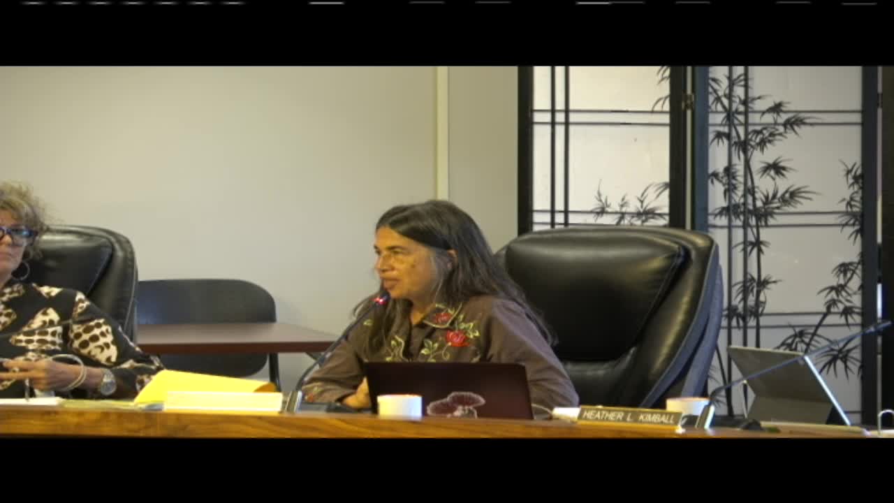
HILO, Hawaii — The Hawaii County Department of Water Supply unveiled an online, GIS-based water-availability map on Sept. 2 that displays general water availability by parcel, active water commitments and developer agreements, officials told the Communication Reports and Council Oversight Committee.
Deputy Kavika Uyehara said the tool implements direction in Resolution 137-25 and will allow users to search by tax map key (TMK) or address to see an area'wide "general water availability," commitments tied to specific land-use applications, and developer agreements that cover well or other infrastructure development.
The departm…
Already have an account? Log in
Subscribe to keep reading
Unlock the rest of this article — and every article on Citizen Portal.
- Unlimited articles
- AI-powered breakdowns of topics, speakers, decisions, and budgets
- Instant alerts when your location has a new meeting
- Follow topics and more locations
- 1,000 AI Insights / month, plus AI Chat