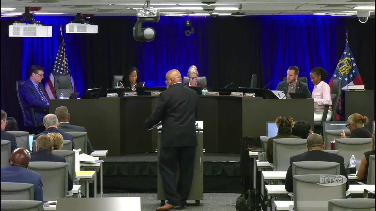
DeKalb GIS director outlines technology priorities: test environment, disaster recovery, AI tools and expanded public access
Get AI-powered insights, summaries, and transcripts
Subscribe
Summary
DeKalb County GIS staff told the PECS Committee the department needs a test environment, disaster recovery, AI‑ready compute hardware and expanded licensing to support more county applications and public mapping tools.
DeKalb County GIS staff presented an update to the Planning, Economic Development and Community Services Committee outlining current operations and a multi‑year technology plan that prioritizes enterprise infrastructure, a test environment, disaster recovery, software upgrades, artificial intelligence and public outreach.
Director-level staff summarized the department's core functions: data management, planning and analysis, field mobility, operational awareness and constituent engagement. Presenters said the department maintains DeKalb's addressing database (about 390,000 addresses) and supports permitting review, annexation processing and other county operations.
Staff noted that the county currently has roughly 900 licensed Esri users through an enterprise agreement and said the upcoming renewal and planned expansion will require additional hardware and software budget if more departments adopt GIS applications. The department reported recent accomplishments including the 2025 imagery deployment, an award for a permitting tracker, updates to the homeless census app used for point‑in‑time counts, and a sidewalk application with sidewalk inventory data.
Key needs identified were a formal test environment for upgrades, a disaster‑recovery environment, image storage capacity for large imagery sets, and compute hardware for AI and machine‑learning applications. Staff described AI use cases such as automated change detection for sidewalks to reduce manual review time. Commissioners and staff discussed coordination with IT on cybersecurity and hosting, and staff confirmed they are working with IT.
Commissioners asked for several follow‑ups: Commissioner Ted Terry asked the GIS team to work with the SPLOST tracker team to produce a visual map showing the distribution of SPLOST 1 and SPLOST 2 investments by category (roads, parks, bridges, etc.). Commissioner Stacy‑Ann (Patrick) asked that the sidewalk layer be added as a toggleable layer within the parcel viewer. Commissioners also raised mapping of LMIG funds and asked that SPLOST and LMIG visualizations be included where possible.
Staff said they operate a drone program and have produced a 3‑D mesh of the Snapfinger Water Treatment Plant and are exploring ArcGIS Mission for an integrated operational picture for major events such as the World Cup and Super Bowl.
No committee vote was required for the presentation. Staff said next steps include working with IT on test/disaster recovery environments, planning the Esri enterprise renewal, and producing requested SPLOST/LMIG visualizations and parcel viewer layer additions.
