Get Full Government Meeting Transcripts, Videos, & Alerts Forever!
Get email alerts on the Coastal Resilience topic
No spam. Unsubscribe anytime.
New Shoreham advisory committee to push GIS tools, surveys and planning after public resilience workshop
Summary
Members of New Shoreham’s climate resilience advisory committee agreed to follow up on a widely attended community workshop with outreach, a GIS work session, a proposed Beach Pavilion planning exercise and a voice vote to move the December meeting date.
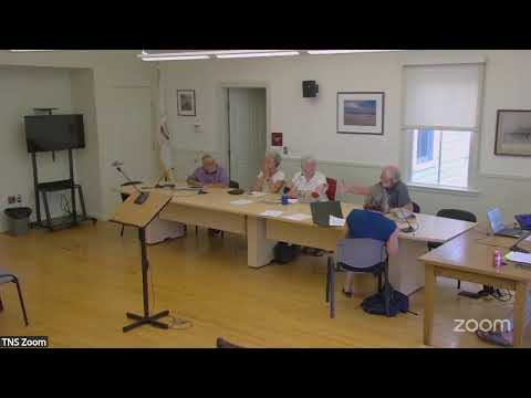
Judy, chair of the New Shoreham climate resilience advisory committee, opened the meeting by congratulating members and volunteers on a well-attended public workshop held the previous day and framed the meeting as a planning session to convert public input into next steps.
The committee agreed on a set of follow-ups after hearing updates from consultants, staff and volunteers. GZA consultant Mike Shay told the committee that the project team “do[es] have a pre application meeting scheduled at 60% design of these concepts,” and said the pre-application review is intended to identify likely permitting issues before committing to later-stage design work.
Why it matters: committee members said the workshop generated strong public interest in longer-term options for the town beach, dune protection and road vulnerability. Committee members and consultants emphasized that better public-facing materials and interactive maps could help residents understand tradeoffs and prepare for decisions that may be needed in coming years.
Most important actions and context
- GIS and public education: Jean Louis demonstrated a new geographic information system (GIS) portal the committee has been building. “This is the GIS we have been working for the last few months,” Jean Louis said while showing layers including parcels, roads, storm drains and modeled inundation levels. Committee members endorsed a proposal for a hands-on GIS work session so residents can learn how to use the tool and understand what the maps do and do not show.
- Public outreach and data collection: Members said they will send a single follow-up to workshop attendees that summarizes what the group heard and lists next steps. The committee agreed to circulate a proposed thank-you email and to add a short survey (including a question about the future of the Scotch Beach Pavilion) to collect further public input.
- Technical follow-ups: The committee noted several technical items from the workshop that need follow-up. Mike Shay said permitting considerations are being integrated into conceptual designs to reduce the risk that designs would later be ruled unpermittable. Shay confirmed the team aims to minimize major rework at the 60% design phase.
- Sensors and site visits: The committee confirmed a site visit from the Braun Environmental Sensor Network is planned for Sept. 9 to evaluate candidate sensor locations; members agreed to schedule a preparatory meeting in late August to coordinate town liaisons such as police or public works.
- Committee staffing and leadership: Judy said she plans to step back as chair when a new leader is identified; she will remain on the committee. Several members whose terms are up were asked to confirm whether they want to continue. The group agreed to solicit candidates and produce a letter to the town council with recommended appointments once members’ intentions are known.
- Meeting scheduling: The committee agreed by voice vote to move the December meeting from Tuesday, Dec. 2 to Monday, Dec. 1 (time to be confirmed) so it can secure a particular presenter. The motion was passed by voice; no roll-call tally was recorded in the meeting transcript.
Other substantive points
- Corn Neck Road grant: Members discussed the Corn Neck Road grant process, noting there are separate planning and implementation funding streams. Committee members expressed a desire to secure implementation dollars, not only additional planning funds.
- Beach pavilion and dune management: Multiple members said the committee should start planning now for the Scotch Beach Pavilion and access points rather than wait for a damaging storm. That included discussion of letting some footpaths recover and of “V” or “Y”-shaped dune paths to reduce erosion.
- Technical clarifications and data sources: The committee compared different inundation datasets (StormTools and NOAA-derived layers) and asked for clearer documentation so the public does not misinterpret maps. Jean Louis and others proposed building an explanatory text layer for each GIS map so nontechnical users can understand the assumptions and limitations.
- Practical and administrative notes: Committee members discussed internal procedures including how to use the town’s ferry account for official business (paperwork and correct language required) and the need for a short tutorial in September on purchasing rules and the committee’s advisory role to the town council.
Quotes and attributions used in this article come directly from speakers at the meeting’s transcript and are attributed to named participants in the meeting’s speaker list.
Next steps and outlook
Committee members asked volunteers to send individual summaries and suggested the chair compile a single summary and recommended next steps for circulation. Planned near-term tasks include: distributing a thank-you and short survey to workshop participants, scheduling a GIS work session for committee members and residents, preparing permitting-focused materials for the town council, and coordinating the Sept. 9 sensor site visit. The committee said it will return to the topic at its September meeting and keep outreach active while GZA advances concept designs.