Get Full Government Meeting Transcripts, Videos, & Alerts Forever!
Get email alerts on the Land Use Subdivision topic
No spam. Unsubscribe anytime.
Sheridan staff review Gillespie Draw subdivision proposal in joint planning area
Summary
City planners reviewed a 622-acre Gillespie Draw subdivision proposal that would create 15 lots, mostly served by private wells and septic systems, and discussed implications for the city'county West Corridor alignment and future annexation.
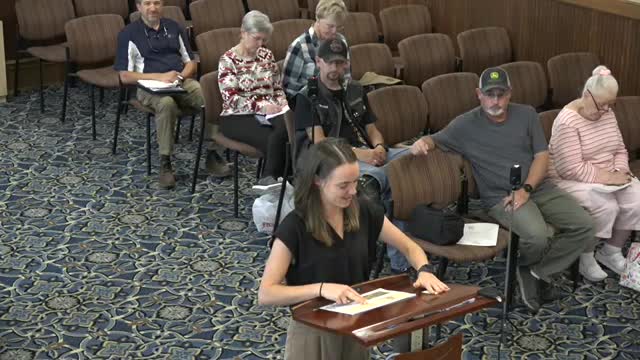
City planning staff presented details of the Gillespie Draw Subdivision during a Sheridan City Council study session on Aug. 25, 2025, outlining a county conservation-design proposal in the one-mile joint planning area north of Kendrick Golf Course.
City Planner Kelly Schroeder told the council the property is about 622 acres and the applicant seeks to subdivide it into 15 lots: two large conservation tracts and 13 residential tracts ranging from roughly 4.5 to a little over 9 acres. Schroeder said all residential lots would rely on private wells and septic systems and that primary access would be from West Fifth Street via a private 60-foot-wide access easement to be named Gillespie Draw; an internal 60-foot private road called Porcupine Lane would serve internal lots. Schroeder said the intersection improvements at West Fifth Street will include a stop sign and pedestrian-crossing signage to accommodate people walking or bicycling from Soldier Creek trail connections.
The parcel sits inside the county but within the city'county joint planning area; Schroeder said the jurisdictional designation and future land-use plan classify the area for agricultural and low-intensity residential uses and that the subdivision, as proposed, would not receive city water or sewer. She noted a small portion of the property already lies within city limits but a petition to deannex that portion has been filed and is moving through county and city processes.
Council members pressed on how the subdivision aligns with long-studied plans for the West Corridor or West Beltway. Schroeder said the conceptual alignment of the West Corridor is approximately a half-mile from the proposed subdivision and remains in planning stages. Council member Hans added that the landowner, System Land LLC, had previously granted right-of-way for the corridor and had coordinated alignment through the parcel when the golf course was developed.
Schroeder said city staff will provide technical review comments to the applicant and that the city will next consider whether to certify the subdivision as conforming to joint planning-area rules before the county Board of County Commissioners acts. She recommended council review staff comments at the upcoming council meeting and said staff would bring specific comments back to council.
The discussion closed with council direction to compile any policy concerns, such as the West Corridor alignment and potential road connections, for possible comment to the county when the city forwards a conformance determination.
Ending: The city will circulate staff review comments and schedule the item for council consideration at the next City Council meeting; the county Board of County Commissioners will make the formal decision on the subdivision application.