Get Full Government Meeting Transcripts, Videos, & Alerts Forever!
Get email alerts on the Environment Well Field Protection topic
No spam. Unsubscribe anytime.
Commissioners consider expanding East Milton well‑field protection overlay to span 'river to river'
Summary
A commissioner proposed expanding the East Milton area well‑field protection overlay to include the full corridor between rivers, and the board asked GIS staff to quantify added acreage and bring maps for discussion at the next meeting.
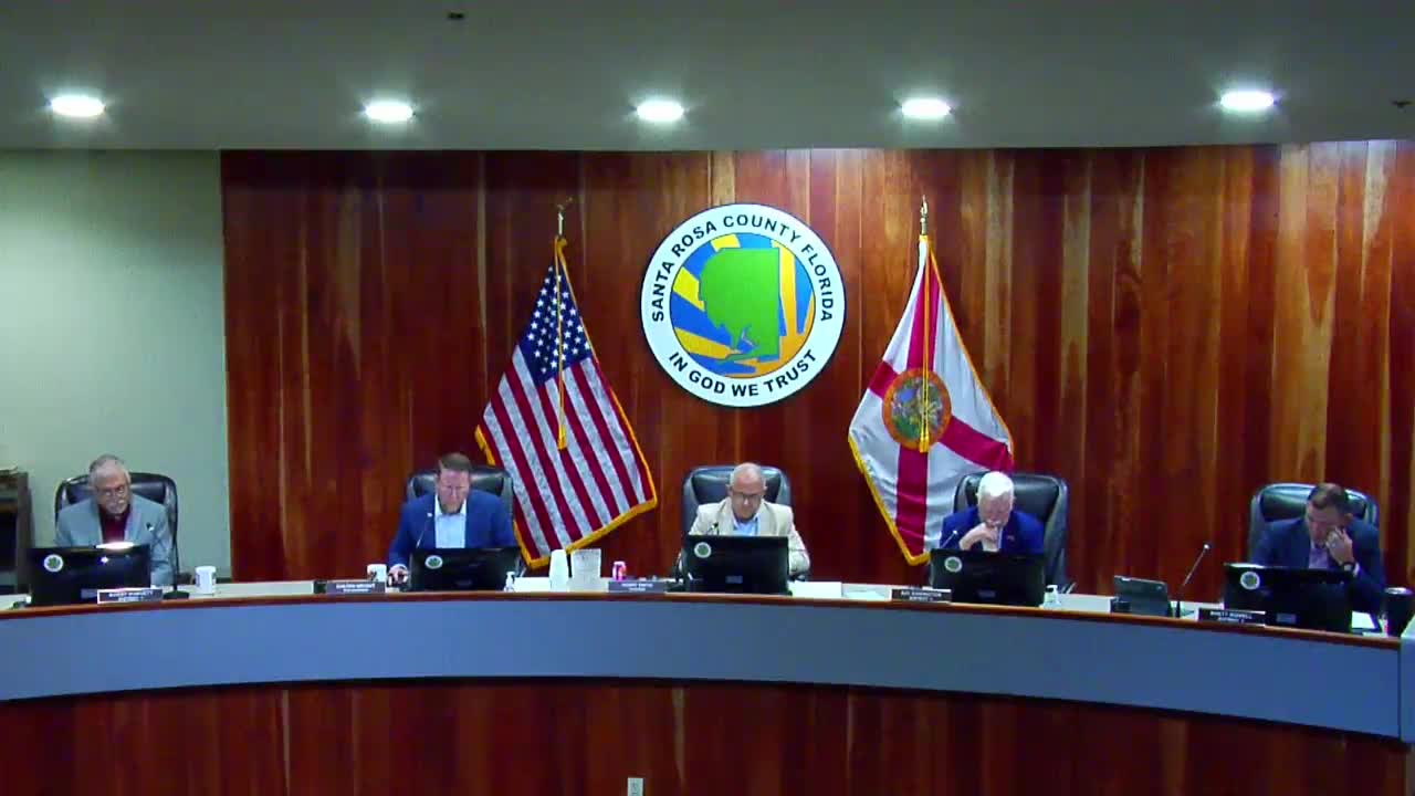
Santa Rosa County commissioners discussed expanding the East Milton well‑field protection overlay district on July 21, with one commissioner proposing the boundary be extended ‘‘river to river’’ to provide additional protection for groundwater and sensitive coastal resources.
The initiating commissioner said the existing overlay currently excludes a lower portion of the corridor and argued that extending the overlay to the Yellow River (river‑to‑river) would better protect aquifers and the environmental character of East Milton. "From an engineering standpoint... it's common sense to go river to river," the commissioner said, adding that the expansion would discourage heavier industrial uses in a corridor the board has sought to develop primarily for light industrial and other compatible uses.
Some members said they were open to the idea but asked for a detailed analysis before committing. Commissioner discussion focused on unintended consequences, such as how additional restrictions might affect existing or planned light‑industrial projects, fueling stations and other utilities. Staff said they could run a GIS acreage analysis for the area between the rivers and report back quickly.
Action and next step: County staff agreed to ask GIS to calculate the additional acreage that would be included if the overlay were expanded from river to river and to provide maps and analysis for discussion at the Thursday meeting. The board indicated it would consider whether to hold a workshop and ultimately schedule any public hearing after the GIS data and draft language had been prepared.
Clarifying details: staff advised that the practical effect of expansion would be to modify the overlay boundaries and associated land‑use restrictions; the county’s GIS planner offered to deliver acreage figures by the end of the week and to add the item for discussion on the next commission agenda.
Ending: Commissioners asked staff to prepare maps and legal language options for a future public hearing; no ordinance or formal zoning change was adopted at the July 21 meeting.