Get Full Government Meeting Transcripts, Videos, & Alerts Forever!
Get email alerts on the Active Transportation Monitoring topic
No spam. Unsubscribe anytime.
Carlsbad staff releases 2024 active transportation monitoring report; commissioners ask for longer counts and more automated data
Summary
Staff presented the draft 2024 Active Transportation Monitoring Report covering pedestrian, bicycle and transit counts at 42 sites; commissioners pushed for longer counting windows, better night/day coverage, and exploration of automated or alternative data sources to capture seasonal and hourly variation.
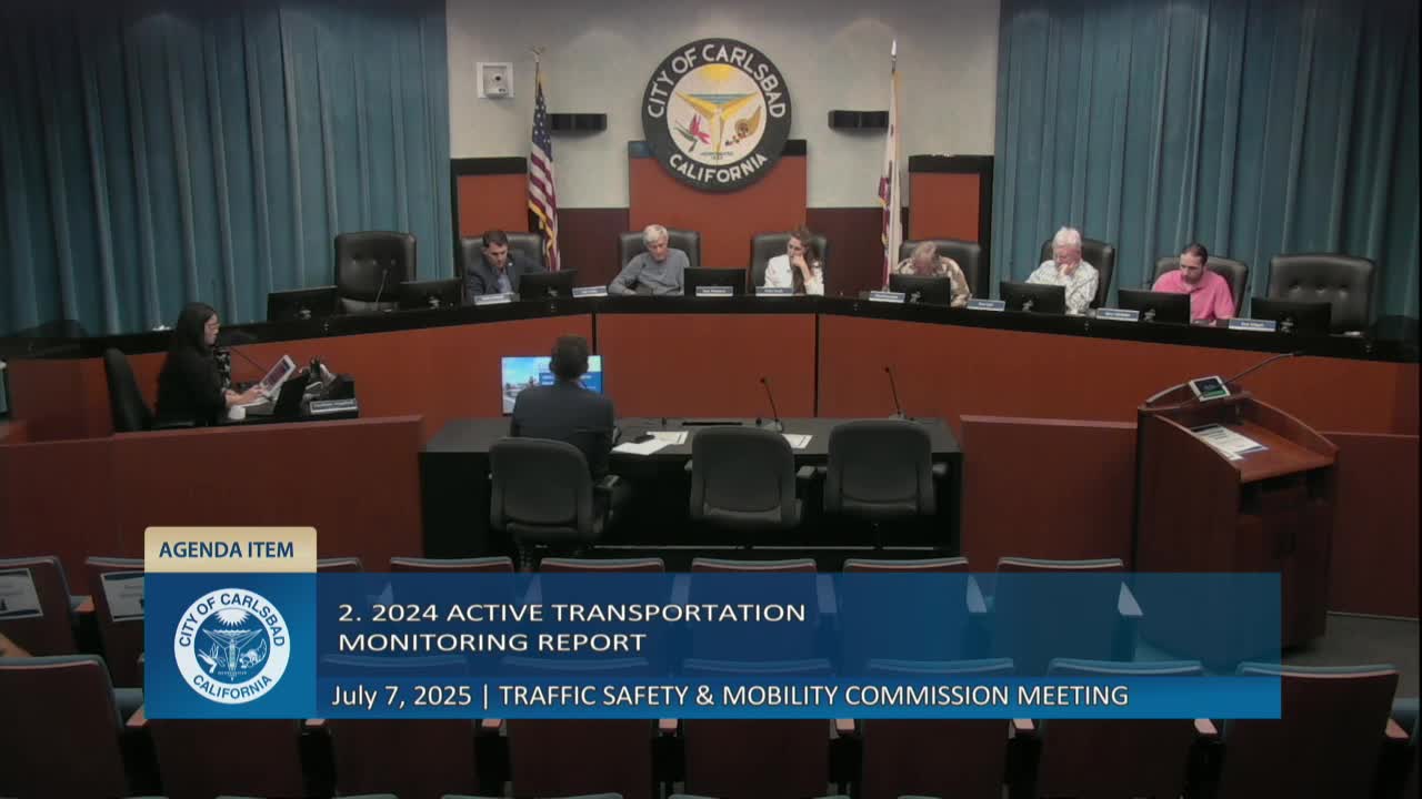
The Traffic Safety and Mobility Commission received a presentation of the draft 2024 Active Transportation Monitoring Report and provided feedback on methodology, data gaps and potential improvements.
Nathan Schmidt, Transportation Planning and Mobility Manager, said the report compiles multimodal counts at 42 sites collected in September 2024 and uses 15‑hour camera counts (typically daytime) plus permanent counters at three long‑term locations. "It is intended to allow City decision makers to make data‑driven investments in active transportation infrastructure," Schmidt said.
The report shows highest pedestrian and bicycle volumes in Carlsbad Village and along the coast, with pedestrian weekend peaks in the village and elevated bicycle use on southern Carlsbad Boulevard. Schmidt said bicycle weekend mode share in a top location reached about 10.7% and pedestrian mode share peaked at about 16.7% at a village location. Transit loads (bus passenger counts) were highest along the coast and El Camino Real at Chestnut/Tamarac; regional transit trends show systemwide declines since 2021, and COASTER ridership has not recovered to pre‑COVID levels despite increased frequency.
Commissioners questioned the single‑day counting approach and expressed interest in expanding counts beyond 15 daylight hours and exploring automated extraction from existing signal or camera systems. One commissioner suggested mining signal camera data and signal detector counts to reduce manual review workload and to improve night and seasonal coverage. Schmidt said cameras still require manual review for bikes and pedestrians and that pneumatic tubes remain the lower‑cost standard for vehicle counts; permanent counters provide long‑term trends for seasonality.
Other discussion points: several commissioners asked staff to investigate using signal detection data for vehicle counts, to request stop‑level transit boarding data from NCTD, and to explore more automated camera analytics as technology matures. Schmidt said the city stores processed counts in a public database (Excel/CSV) but does not retain the raw video files because of storage constraints; raw video could be requested for sample locations.
Staff noted localized changes where targeted bike infrastructure produced notable increases: a corridor where green lane markings were added showed about a 63% increase in bike counts before and after improvements. Commissioners recommended plotting hour‑by‑hour trends and considering longer or repeated counts to capture tourist‑season peaks.
Next steps: staff will revise the draft report based on commission feedback, continue annual September data collection when feasible, and evaluate technologies and data sources to reduce manual processing burdens and extend temporal coverage.