Get Full Government Meeting Transcripts, Videos, & Alerts Forever!
Get email alerts on the General Plan topic
No spam. Unsubscribe anytime.
Soledad council gives staff direction on draft land-use and circulation maps for 2025 general plan update
Summary
City staff and consultants presented draft land-use and circulation maps for the 2025 Siempre Soledad general plan update. Council endorsed a flexible land‑use approach to boost housing and economic opportunities and asked staff to refine circulation maps, emergency‑access and outreach plans before environmental review begins.
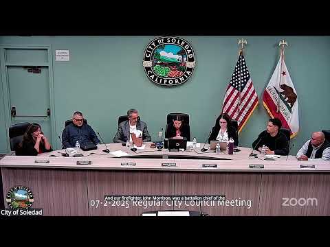
City of Soledad planners told the City Council on July 2 that draft land‑use and circulation maps for the 2025 Siempre Soledad general plan update will prioritize flexibility to encourage housing, neighborhood retail and targeted commercial growth while protecting existing neighborhoods.
The council received a detailed presentation from Senior Planner Adriana (last name not specified in the meeting record) and PlaceWorks consultant Amy Seinsheimer, who described two alternatives tested during outreach — a downtown‑focused growth alternative and a regional‑hub expansion — and said public input favored a mix of both approaches. The maps define new designations including “traditional neighborhood,” “blended residential,” “multifamily neighborhood,” “neighborhood centers,” and north/south gateway commercial areas.
City staff said the updated land‑use map is intended to clarify where the city wants higher density housing and small commercial nodes while preserving character in long‑established single‑family areas. “The land‑use map will set the base map for zoning and for the environmental review,” Adriana said. She told the council the maps are intended to give developers and residents clearer expectations while allowing the city to meet housing goals adopted in the housing element.
Council members pressed staff for clearer definitions and examples of the new categories. Councilmember Caldera asked whether “small multifamily structures” includes duplexes; staff replied such development could include duplexes, triplexes, townhomes or small apartment buildings depending on lot size and state laws (for example, SB 9 and ADU statutes) that affect what may be built on existing lots. Several council members asked staff to simplify the label “traditional neighborhood” or add parenthetical examples so residents reading the plan will understand whether accessory dwelling units or junior ADUs are included.
On circulation, city staff said the map’s purpose is to establish roadway classifications and network connectivity rather than to lock in a list of specific capital projects. Staff proposed removing a number of proposed improvements from the required statutory circulation map and instead documenting them in the circulation element or a separate “improvement study map” so the official map remains a clear statement of street classifications and connections. Consultants and staff emphasized the need to coordinate circulation proposals with safety, school routes and emergency access planning.
Councilmembers emphasized emergency preparedness, noting the city’s limited points of ingress/egress. Mayor Velasquez and others asked staff to identify feasible, city‑level alternatives to large projects that depend on state or Caltrans approvals (for example, any proposals for a third ramp or major Pinnacles Parkway designs). Councilmembers also asked staff to make public engagement more extensive and targeted: outreach at community events, athletic fields and with local organizations, and to provide clear materials (maps showing existing conditions vs. proposed improvements) so residents can distinguish what is proposed versus what already exists.
PlaceWorks consultant Amy Seinsheimer and consultant Charlie Knox said the next step after council direction is to finalize the project description and move the draft plan into environmental review (the EIR). Staff said a final draft general plan is expected to be completed for council review before the start of the EIR process later in the fall and that additional public outreach will be scheduled as part of the environmental review.
Council direction and next steps: the council generally approved the direction of the draft land‑use and circulation maps with edits noted on labeling, clearer examples for the land‑use categories, removal of proposed capital projects from the statutory circulation map in favor of a separate improvement list, and an emphasis on emergency access and expanded community outreach. Staff will return with a refined map set and engagement plan for the EIR project description.
The council’s acceptance of the maps does not adopt the general plan; it provides the project description staff will use to prepare the draft general plan and the environmental impact report required under state law. The council and planning commission will review the draft general plan and the EIR before any final adoption vote.
Ending: Staff said they will update the maps and outreach strategy reflecting council comments, coordinate the next rounds of community workshops and steering‑committee meetings, and bring the revised maps and project description back to the council before initiating formal environmental review.