Get Full Government Meeting Transcripts, Videos, & Alerts Forever!
GIS asks county to join regional aerial and LiDAR purchase; warns of rising software costs
Summary
GIS Administrator Jim Knickerbocker asked Rockwall County officials to join a North Central Texas cooperative purchase for updated aerial imagery and LiDAR data and described rising recurring costs for key GIS software licenses used by county planning and engineering.
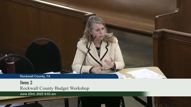
Jim Knickerbocker, Rockwall County GIS administrator, told the commissioners court the GIS office has two near-term priorities for data and software: up-to-date aerial photography and LiDAR (light detection and ranging) for the county, and continuity of core GIS software licenses.
"GIS is the science of location," Knickerbocker said, describing the department's work on 9-1-1 addressing, roadway centerlines, FEMA floodplains and mapping used by internal and external customers. He said the county's addressing dataset has grown from roughly 38,720 address points in 2016 to more than 60,000 today.
Cooperative purchase proposal: Knickerbocker presented a cooperative (COG) quote for a regional aerial and LiDAR flight that would produce a one-time, countywide snapshot. The quote includes a 6-inch aerial-photography package for…
Already have an account? Log in
Subscribe to keep reading
Unlock the rest of this article — and every article on Citizen Portal.
- Unlimited articles
- AI-powered breakdowns of topics, speakers, decisions, and budgets
- Instant alerts when your location has a new meeting
- Follow topics and more locations
- 1,000 AI Insights / month, plus AI Chat