Get Full Government Meeting Transcripts, Videos, & Alerts Forever!
Get email alerts on the Rappahannock Water Supply topic
No spam. Unsubscribe anytime.
Conservation groups press for basinwide water-supply plan after Rappahannock named "most endangered river"
Summary
Friends of the Rappahannock and American Rivers described reasons for the Rappahannock River27s "most endangered" designation, citing declining groundwater, data gaps, interbasin transfers and fast regional growth. They urged coordinated basinwide planning and funding for regional water-supply plans required by law.
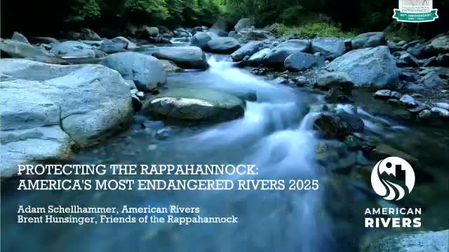
Friends of the Rappahannock and American Rivers briefed the commission on why the Rappahannock River was named one of the nation27s "Most Endangered Rivers," urging a basinwide and coordinated approach to water supply planning to address long-term sustainability.
Brent Hunsinger of Friends of the Rappahannock said the designation is a "call to action" aimed at improving regional planning and public attention. He cited primary threats including declining groundwater levels in the Eastern Virginia Groundwater Management Area and Piedmont aquifers, explosive regional population growth and data gaps from legacy or unpermitted surface-water intakes. Hunsinger also pointed to interbasin transfer proposals that would divert Rappahannock water to other basins and noted agricultural and fisheries impacts from saltwater intrusion and changing flows in tide-impacted areas.
Hunsinger said the Rappahannock designation is intended to spur a comprehensive basinwide water-supply plan rather than to allege an immediate catastrophic failure. He urged stronger data-sharing and recommended stitching together required regional water-supply plans (five regions in the Rappahannock basin) into a cumulative, basin-scale plan. He noted the General Assembly in 2020 required regional planning but did not mandate that the separate regional plans be combined into one basinwide strategy.
Hunsinger asked the commission and DEQ to focus on three near-term actions: (1) complete basinwide data gathering and source identification; (2) create an agreed approach to define and account for legacy, unpermitted intakes and their authorized capacities; and (3) provide adequate funding for the regional plans (he and others estimated the actual planning cost may range from roughly $90,000 to $300,000 per region, higher than the small planning grants currently available).
Commissioners discussed regionalization options and the longevity of contractual wholesale agreements (some contracts run into the 20392740 timeframe), and DEQ and presenters emphasized that surface-water and groundwater availability varies seasonally and under drought conditions. Hunsinger thanked DEQ for recent collaboration and said the designation seeks better, proactive planning rather than an immediate ban on uses.