Get Full Government Meeting Transcripts, Videos, & Alerts Forever!
Get email alerts on the Fire Hazard Map topic
No spam. Unsubscribe anytime.
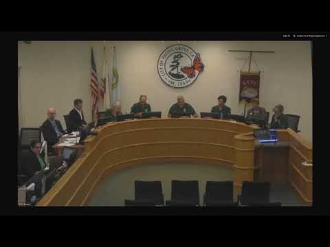
Council adopts updated 2025 fire hazard severity zone map; division chief outlines inspection and education steps
Summary
The council adopted CAL FIRE's updated 2025 Fire Hazard Severity Zone map for Pacific Grove, expanding areas designated very-high/high and prompting stepped defensible-space inspections and outreach.
The City Council adopted an ordinance repealing and replacing the local code section that incorporates CAL FIRE's 2025 Fire Hazard Severity Zone map for Pacific Grove. The updated map increases acreage in high and very-high hazard zones and triggers annual defensible-space inspections in those mapped areas.
City Manager Matt Mogensen and Division Chief Justin Cooper (Monterey Fire Department) told council the state maps are based on terrain, vegetation and ember cast modeling and are intended to inform defensible-space standards and disclosures for properties. Cooper said, "Currently all parcels in the city of Pacific Grove have to maintain defensible space," and explained that the updated map identifies zones where additional emphasis and inspections will occur.
The city previously had about 82 acres in a very-high zone; under the new maps the total acreage in high/very-high/moderate categories grows to roughly 372 acres across those classifications. Staff emphasized the maps themselves do not alter emergency response but will affect code requirements, inspections and future building/renovation standards (including state-required WUI/ASCCRA provisions for very-high zones). Cooper said the state is considering further new standards for construction in very-high areas and that a three-year phase-in period for compliance is part of the state process.
Council members and staff discussed next steps: staff and fire staff will continue public outreach and education about defensible-space requirements, work with property owners where vegetation or leaning trees create hazards, coordinate with Cal Fire and nearby landowners (including Pebble Beach where vegetation crosses property lines), and review municipal permitting and the city tree code to align with evolving state standards. Chief Cooper said the city has already done defensible-space inspections in mapped zones and will expand inspections to additional zones as necessary.
Council moved the recommendation and adopted the ordinance to incorporate the new CAL FIRE map; staff said it will return with ordinance updates and any needed code or permitting changes to align with state rules and to support property owners in compliance.
Ending: The council adopted the state map and directed staff and fire personnel to expand outreach and inspection activity, coordinate with partner landowners and bring recommended municipal code updates as state standards evolve.