Get Full Government Meeting Transcripts, Videos, & Alerts Forever!
Get email alerts on the Wetlands And Development topic
No spam. Unsubscribe anytime.
Hooksett ZBA continues West River Road wetland special-exception application to Aug. 12
Summary
The Hooksett Zoning Board of Adjustment agreed to continue a special‑exception application for a proposed residential use at West River Road that would impact wetlands and buffers, citing a reduced board attendance and safety concerns at the site; the applicant will provide delineation stakes, photos and updated plans for the next hearing.
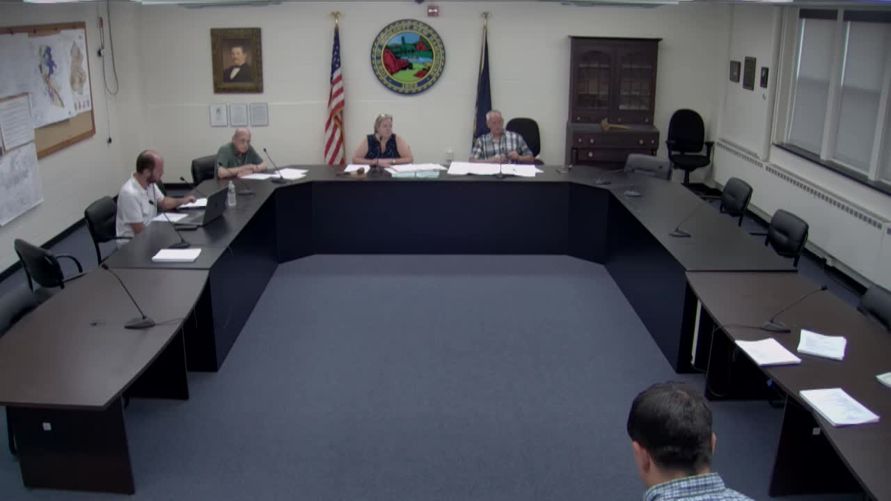
The Hooksett Zoning Board of Adjustment on an abbreviated membership night agreed to continue consideration of a special‑exception application for a proposed residential use at 11269 West River Road to Aug. 12.
The application, identified in the meeting as Z 25‑11269 (Map 17, Lot 18), requests a special exception under the town ordinance to permit construction that would require wetland impacts to access the upland portions of the site. The applicant reported the proposal would result in 6,447 square feet of wetland impacts and 21,061 square feet of buffer impacts.
Brent Cole of Grama Engineering, the applicant’s engineer, told the board: "Given that there's only 3 members here tonight, I think it is in the best interest of the project to defer until there's at least 4, hopefully, a full board next time." Cole also asked the board to schedule a site visit and said his team would provide photos and marked stakes to clarify the proposed crossing.
Board members and staff raised access and safety concerns because the site is adjacent to Route 3A (West River Road). Members noted available parking is limited to a small filled area near the road and that visiting the property at length could require backing out onto a busy roadway. Cole said there is an existing raised driveway and an excavator path to the rear; he agreed to stake the limits of the proposed wetland impact and the driveway and to provide photographic views from the roadway and of the crossing.
Resident Dave Damon, who lives on Westbank Road and said he borders the property, urged an in‑person site visit, saying photographs alone would not convey conditions on the ground: "If you don't go out there, you're not gonna get an appreciation for what it is. I've walked out there with my grandkids and it's... a marsh." The board responded that it would not direct anyone to park on Route 3A and suggested a coordinated drive‑by or an early‑morning visit for members who could not safely park.
Board staff and members asked that the applicant clearly mark stake locations and use different colored flags to distinguish the limit of wetland impact from the driveway. Cole said he would coordinate with a surveyor and provide materials to Dana (town staff) and the board; he also said he would take views of the crossing and habitat to supplement the plans. At one point Cole stated he would provide materials to Dana by July 29.
Members also noted materials from the Planning Board and the Conservation Commission were part of the record. There was discussion about how Conservation Commission minutes recorded their recommendation; one attendee said the minutes read as a 2–2 record while others recalled a fuller favorable recommendation and asked Dana to clarify the commission’s vote in the minutes.
On the motion to continue the application to Aug. 12, the board voted verbally in the meeting, with the members present saying "Aye." The board then proceeded with routine business, including approving minutes of the June 10, 2025 meeting.
Next steps: The applicant will mark the site (about four stakes were discussed) and provide updated plans and photographs to town staff for distribution; the ZBA will circulate an email to the full board and alternates so members can visit the site independently if they wish. Conservation and Planning Board materials will be clarified and re‑circulated prior to the August meeting.