Get Full Government Meeting Transcripts, Videos, & Alerts Forever!
Get email alerts on the Fire Safety Maps topic
No spam. Unsubscribe anytime.
Monrovia introduces updated fire-hazard severity maps; ordinance set for July 1
Summary
City staff introduced new state-produced Local Responsibility Area fire-hazard severity maps that add ‘moderate’ and ‘high’ designations; the council set the ordinance for public hearing and adoption on July 1, 2025. Staff discussed potential insurance implications and the need for public outreach on defensible-space and home-hardening.
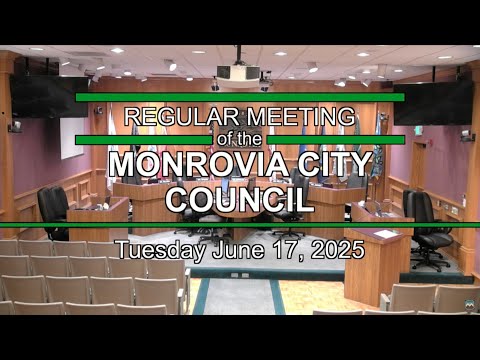
Monrovia — The Monrovia City Council on June 17 introduced an ordinance to adopt updated Local Responsibility Area (LRA) fire-hazard severity zone maps prepared by the state fire marshal and set a public hearing and adoption vote for July 1, 2025.
Fire Chief Jeremy Sanchez told council the updated maps, released March 24, 2025, classify Monrovia parcels into very high, high and moderate fire-hazard severity zones. Historically Monrovia’s map designated only “very high”; the update adds high and moderate designations for additional areas on the east side of the city. State law requires local jurisdictions to adopt the maps by ordinance within a statutory period.
Chief Sanchez explained the distinction between hazard and risk: the maps reflect long-term hazard based on vegetation, terrain and climate data used in state modeling; they do not directly reflect local mitigation actions such as home hardening or recent fuel-reduction work. He said the maps were derived from best-available science, including burn-probability and fire-behavior modeling that used historical climate data and fire history.
Requirements and implications Under current law, parcels in ‘‘very high’’ zones already are subject to existing defensible-space inspections and the Chapter 7A building-code standards for wildfire-resistant construction; the updated maps extend Chapter 7A obligations to parcels newly deemed in the high zone when owners do new construction or additions. The moderate designation triggers only a disclosure requirement (property owners must be notified that their parcel lies within a mapped hazard zone).
Chief Sanchez addressed insurance concerns. He said insurers underwrite on risk, not hazard, and insurers typically evaluate mitigation steps (for example, Class A roofs, ember-resistant vents, enclosed eaves, noncombustible siding near ground level, cleared vegetation under decks, and other measures listed in state guidance) when setting premiums or offering discounts. He identified Firewise/Fire Risk Reduction community programs as a way neighborhoods can pursue potential insurance benefits and said staff will study whether to pursue Firewise USA certification or other programs.
Outreach and next steps Council directed staff to continue public outreach and to coordinate defensible-space inspections already underway; the city began inspections for properties newly mapped into hazard zones on June 15. Staff said the Safety Element of the General Plan and the hazards mitigation plan will be updated as part of ongoing planning work, and municipal-code changes related to defensible-space ordinances could follow.
Council action Council voted to introduce Ordinance No. 2025-08 (reading by title only) and set the public hearing and adoption for July 1, 2025. The ordinance introduction passed on a unanimous roll-call vote.
Ending Staff will continue outreach and bring municipal-code changes or additional information back to council as state guidance and implementation details for ember-resilience and other emerging requirements evolve.