Get Full Government Meeting Transcripts, Videos, & Alerts Forever!
Get email alerts on the Public Safety Wildfire topic
No spam. Unsubscribe anytime.
Council introduces ordinance to adopt updated fire hazard severity maps; public outreach planned
Summary
Monrovia introduced Ordinance No. 2025‑08 to adopt state‑issued Local Responsibility Area (LRA) fire hazard severity maps dated March 24, 2025; staff will continue public outreach and update municipal code and the safety element.
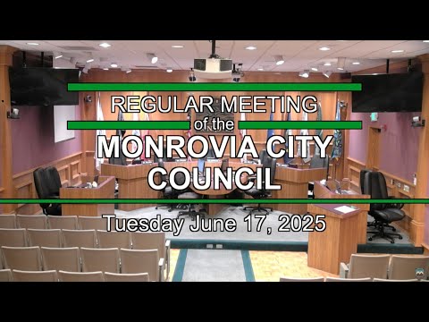
The Monrovia City Council on June 17 introduced Ordinance No. 2025‑08 to adopt updated Local Responsibility Area (LRA) fire hazard severity zone maps released by the state on March 24, 2025.
Fire Chief Jeremy Sanchez explained the maps identify hazard (probability of burning under modeled conditions) rather than risk (the actual damage potential given mitigation). The state model used best available science, including vegetation, slope, historical fire data and weather through 2018 with burn probabilities extended toward 2020. The new statewide approach designates parcels as moderate, high or very high hazard; Monrovia historically had only a very‑high designation.
Under the state and existing local code, parcels in the very‑high zone are subject to defensible‑space inspections, a 200‑foot defensible space standard for new development per local rules, Chapter 7A building code requirements for new construction and real‑estate disclosure requirements (AB 38) when properties are sold. The high zone brings some of those requirements (for example, Chapter 7A requirements for new construction) to parcels newly identified as high; the moderate designation triggers notification only.
Chief Sanchez and staff told council inspections began June 15 and that 1,247 homes will be inspected this year under the new delineation; the updated map shows 1,476 parcels in the very‑high zone, 619 parcels in the high zone and 754 parcels in the moderate zone. Staff emphasized that the hazard classification reflects long‑term physical conditions and does not change the effect of local mitigation measures such as defensible space or home hardening on an individual property’s risk profile.
Council members asked about insurance implications and enforcement. Chief Sanchez said insurance underwriters evaluate risk and mitigation measures, and many carriers already offer discounts tied to steps such as a Class A roof, ember‑resistant vents, enclosed eaves, noncombustible exterior finishes near the ground, upgraded windows, cleared vegetation under decks, removal of combustible outbuildings within 30 feet, and other Firewise/ember‑resilience measures. The state is also developing regulations for an ember‑resilience (zone 0) standard; staff said that regulation and implementation details are still under review and that existing homes will generally receive a compliance window.
Council voted unanimously to introduce the ordinance by title and set a public hearing and final adoption for July 1, noting state law requires local adoption by late July. Staff will continue city outreach, coordinate inspections, and work with Community Development to apply the map to permits; the safety element in the general plan will be updated as part of the ongoing hazards mitigation plan work.