Get Full Government Meeting Transcripts, Videos, & Alerts Forever!
Get email alerts on the Comprehensive Plan Update topic
No spam. Unsubscribe anytime.
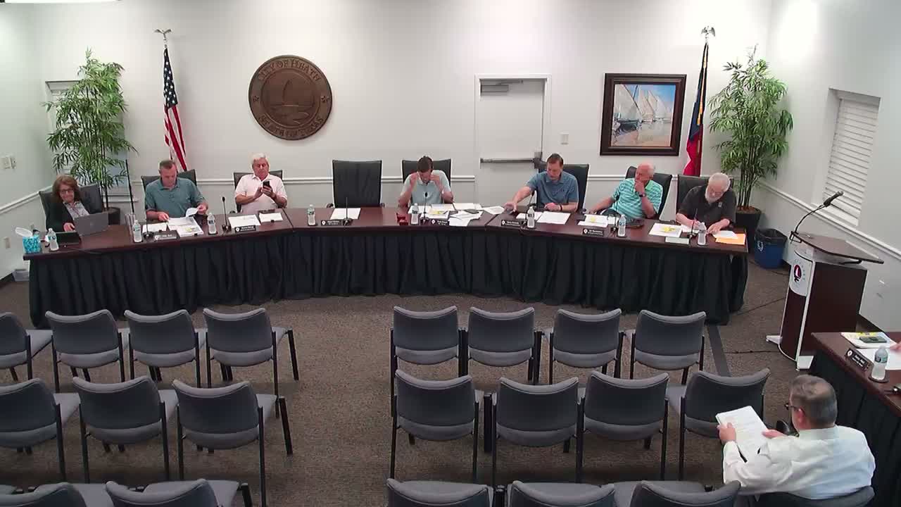
Heath Planning Commission backs 2025 comprehensive plan updates, flags irrigation, mapping and parkland issues
Summary
The Heath Planning and Zoning Commission voted to recommend approval of the city's 2025 comprehensive plan update with amendments to land-use labels, clarifying definitions and follow-up code work to implement some policy changes.
The Heath Planning and Zoning Commission voted to recommend approval of the city's 2025 comprehensive plan update with a set of amendments and clarifications to be forwarded to the City Council.
The commission asked staff to: remove the 2018 comparison columns from the land-use table and relabel rows to match the future land-use map; add clarifying language defining what the plan means by "developed" and "vacant" (including the distinction between platted and unplatted land); and verify several acreage and mapping figures tied to the city's GIS data. Commissioners also debated a change to Objective 8.5 that replaces the word "encourage" with "require" in language about self-sustaining amenities such as irrigation and on-site water systems.
Why it matters: the changes affect how staff and developers interpret the city's long-range guidance and which items would need subsequent code or zoning text amendments to be enforceable. Commissioners said some recommended changes in the plan are strategic (policy direction) and would require later ordinance updates to become mandatory rules for development.
Discussion and key points - Objective 8.5 wording change: Commissioners drilled into a single-word change in Objective 8.5 that replaces "encourage" with "require" for "self-sustaining amenities including, but not limited to, irrigation, water systems, and other infrastructure." Commissioners asked how that would be enforced and whether it would require every new development to demonstrate an independent well or other water source. A staff member explained that the comp plan itself is a policy document and that a separate text amendment to the city's zoning code, subdivision regulations or engineering design standards would be necessary to make the requirement enforceable.
- Water and system implications: Commissioners discussed alternatives to a costly private well requirement, including recycled (gray) water systems (often referred to as "purple pipe" systems) that route household wastewater for irrigation use. Staff cautioned that graywater approaches require careful design and homeowner education because household products can harm landscape irrigation if not properly managed. Commissioners also referenced Texas water law and the city's status as a water provider, noting that any requirement for household potable supply remains constrained by existing service and legal frameworks.
- Table 1, mapping and data accuracy: The commission directed staff to remove the three 2018 columns from Table 1 because the categories and labels are not "apples to apples" with the 2025 classifications. Commissioners recommended adjusting category labels so the table language exactly matches the colors and categories used on the future land-use map and adding clear footnotes to define terms such as "platted," "developed" and "vacant / unplatted." Several members questioned apparent increases in acreage for certain categories and asked staff to reconcile the table entries with the GIS-derived map layers before publishing.
- Parkland acreage and consultant work: The commission heard that the Park Board recommended contracting with consultant Abra Nasser (a landscape architecture/planning subconsultant) to update the parkland dedication ordinance calculations and data. Staff said the Council will consider authorizing a professional services agreement in June and that consultant work could start in July. Commissioners were told the contractor will work with staff and the GIS consultant to refine park acreage numbers and feed that work back into a future amendment to the comp plan where appropriate.
- Developable acreage and floodplain: Commissioners asked staff to clarify graphic and text treatment showing correct and incorrect methods for calculating developable acreage. Staff agreed to add explicit language that developable acreage cannot include floodplain areas and to annotate the graphics to make the distinction clearer.
Motion and next steps A commissioner moved to recommend approval of the comprehensive plan update with the modifications recorded during the meeting; another commissioner seconded the motion. The recommendation was forwarded to City Council for action (voice vote; tally not provided). Staff will incorporate the edits, add clarifying footnotes and post the plan document and an abridged summary on the city website for public review before Council consideration.
Quotes "We're going to be posting the plan document in its entirety on the website by the end of this week and announcing that to the public," said Erin, a city staff member who noted she is transitioning off city staff this week.
"I recommend approval with the recommended modifications that Aaron has documented," said a commissioner before the motion was seconded.
Ending Staff will return a revised document reflecting the commission's requested edits and annotations. The City Council is expected to receive the commission's recommendation as part of its upcoming agenda; any proposal that is intended to be mandatory (for example, the 8.5 wording change) will require subsequent ordinance or text amendments and further Council action.