Get Full Government Meeting Transcripts, Videos, & Alerts Forever!
Get email alerts on the Parcel Map Subdivision topic
No spam. Unsubscribe anytime.
Commission recommends approval of parcel map dividing four parcels into six on Black Road
Summary
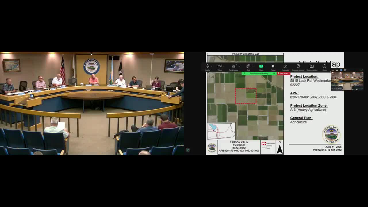
The planning commission recommended approval of Parcel Map 02513, a minor subdivision that would divide four agricultural parcels totaling about 478.1 acres on Black Road into six legal parcels. Staff recommended a negative declaration; no public opposition was recorded at the hearing.
The Imperial County Planning Commission recommended approval of Parcel Map 02513, authorizing a minor subdivision that splits four existing parcels on Black Road into six legal parcels.
Staff said the parcels are agricultural under the county general plan and zoned for agricultural use. The proposed subdivision would not change the total combined acreage, which staff recorded as 478.1 acres across the four parcels (assessor parcel numbers referenced in the staff presentation). Planning staff recommended adoption of a negative declaration, finding the project would not have a significant effect on the environment as recommended by the Environmental Evaluation Committee on March 27, 2025.
Commissioner Kalin confirmed he had read the project materials and agreed. The public hearing drew no speakers and the motion to approve parcel map 02513 was passed on a roll-call vote recorded as unanimous “yes.” The transcript notes that appeals to the Board of Supervisors would be accepted within 10 days of the commission’s action.
If the Board of Supervisors approves following the commission’s recommendation, the subdivision will proceed subject to the conditions in the staff report and the adopted resolution.