Get Full Government Meeting Transcripts, Videos, & Alerts Forever!
County outlines Fort Valley flood modeling, sandbag and barrier plans for post-fire storms
Summary
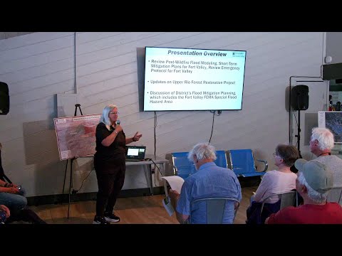
Engineers presented pre- and post-wildfire flood modeling for the Upper Rio watershed, identified likely inundation areas in Fort Valley and described a staging plan that calls for large quantities of sandbags and concrete barriers in specific corridors.
Coconino County and consultant J.E. Fuller presented flood-modeling results for the Upper Rio watershed that show how even a modest-size burn on the San Francisco Peaks could cause fast-moving post-fire floods that pond behind Highway 180 and flow through Fort Valley into Flagstaff.
Joe Loveridge of J.E. Fuller said the modeling used multiple burn and storm scenarios and identified areas that are likely to see water under many scenarios. “Our baseline, what we're seeing here is really a 2 inch and 45 minute storm event. That's it's a 25 year to 50 year event if you're looking at just the probability of it, but…
Already have an account? Log in
Subscribe to keep reading
Unlock the rest of this article — and every article on Citizen Portal.
- Unlimited articles
- AI-powered breakdowns of topics, speakers, decisions, and budgets
- Instant alerts when your location has a new meeting
- Follow topics and more locations
- 1,000 AI Insights / month, plus AI Chat