Get Full Government Meeting Transcripts, Videos, & Alerts Forever!
Get email alerts on the Flood Mitigation topic
No spam. Unsubscribe anytime.
County outlines Fort Valley flood modeling, sandbag and barrier plans for post-fire storms
Summary
Engineers presented pre- and post-wildfire flood modeling for the Upper Rio watershed, identified likely inundation areas in Fort Valley and described a staging plan that calls for large quantities of sandbags and concrete barriers in specific corridors.
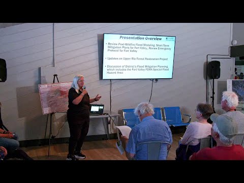
Coconino County and consultant J.E. Fuller presented flood-modeling results for the Upper Rio watershed that show how even a modest-size burn on the San Francisco Peaks could cause fast-moving post-fire floods that pond behind Highway 180 and flow through Fort Valley into Flagstaff.
Joe Loveridge of J.E. Fuller said the modeling used multiple burn and storm scenarios and identified areas that are likely to see water under many scenarios. “Our baseline, what we're seeing here is really a 2 inch and 45 minute storm event. That's it's a 25 year to 50 year event if you're looking at just the probability of it, but it's a high intensity, short duration monsoonal storm,” Loveridge said.
County and flood-control presenters said modeling and field experience from prior fires and floods informed a short-term mitigation plan that uses two main types of protection: sandbags for wrapping individual houses in slow, shallow flow zones, and heavy concrete “Jersey”-style barriers where fast, deep flow would overpower sandbags. Maps shown to residents used orange polygons to indicate sandbag areas and red to indicate where heavier barriers would be needed.
Lucinda Andrean, director of the Flood Control District, said county planners expect to stage large quantities of material near neighborhood access points and asked residents to review maps and talk with staff after the meeting. “Many of the homes will need to be completely surrounded by sandbags, and there's a very specific protocol for that,” Andrean said; she added the county’s current planning estimate calls for “upwards of 800,000 sandbags” and roughly five and three-and-a-half miles of barrier in key corridors.
Loveridge and other speakers discussed how post-fire flow paths can shift on alluvial fans and at forks above Fort Valley, meaning monitoring after a fire would be needed to determine which tributary takes the bulk of flow. The presenters also noted specific access vulnerabilities at the Cheshire/Highway 180 cut and other narrow crossings where relatively small flows could overtop roads and hinder emergency response.
Presenters said the modeling and maps are available on the county website and in the materials at the meeting; staff offered one-on-one parcel reviews after the presentation. Officials emphasized that the planning is for short-term mitigation following a fire and that larger engineering projects to alter flood infrastructure would require additional studies and funding.