Get Full Government Meeting Transcripts, Videos, & Alerts Forever!
Get email alerts on the Infrastructure Resiliency topic
No spam. Unsubscribe anytime.
Engineers warn coastal landslides, liquefaction and fault crossings threaten Losan corridor reliability
Summary
UCLA geotechnical experts told the Senate subcommittee that coastal landslides, soil liquefaction and surface‑fault rupture pose recurring risks to the Losan corridor and urged hazard mapping, instrumentation and preemptive monitoring to reduce surprise service outages.
A University of California, Los Angeles geotechnical specialist told a Senate subcommittee that the Losan rail corridor faces multiple geohazards — coastal landslides, liquefaction in low‑lying soils and fault crossings that can produce surface rupture — and that these hazards are growing in frequency or consequence as climate change increases storm intensity and coastal erosion.
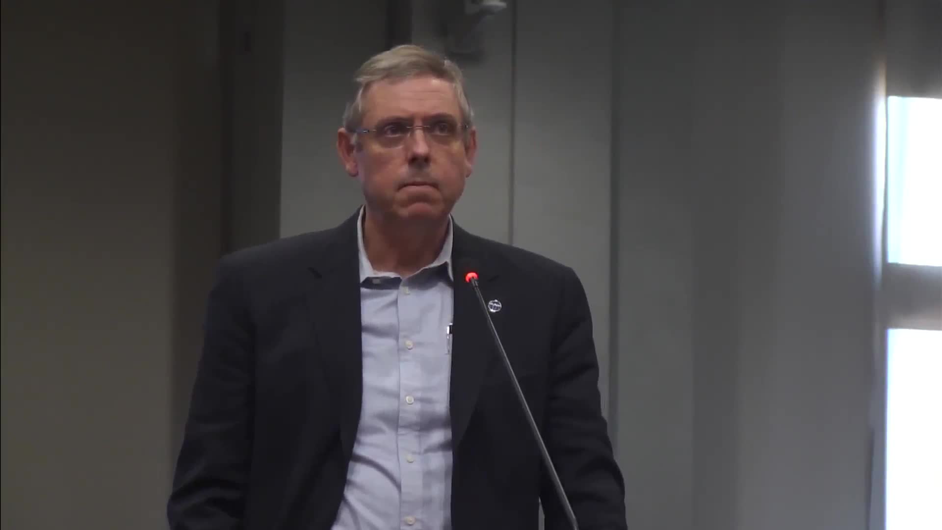
Jonathan Stewart, a civil and environmental engineering professor at UCLA, described the corridor’s vulnerabilities and recommended regional mapping and sensor deployment so agencies can anticipate slope movement and measure ground shaking in real time.
Why it matters: Repeated temporary closures in the corridor stem in part from coastal slope failures and storm damage. The subcommittee heard that treating rail repairs with the same urgency used on highway repairs — and investing in monitoring equipment — could allow operators to reduce risk and shut lines only where necessary rather than responding to sudden collapses.
Key technical points
- Coastal landslides and undercutting: Stewart said much of California’s coastal bluff material is “weakly cemented rock” that weathers and becomes prone to wave undercutting and slope failure; he recommended hazard mapping to identify high‑risk segments.
- Liquefaction and earthquake effects: Stewart pointed to areas where ground liquefaction and shaking could cause track buckling or lateral displacements. He also described the risk of surface fault rupture at some crossings.
- Instrumentation and early warning: Stewart recommended inclinometers and accelerometers along the corridor to detect slow slope movement and to measure shaking intensity so agencies can institute targeted inspections or temporary shutdowns when sensors indicate likely damage.
Quotes from the hearing
- Jonathan Stewart, UCLA: “Landslides will sometimes begin with subtle movement and then advance to something much more severe.”
What agencies can do now
Stewart said the state geological survey’s mapped liquefaction and landslide hazard zones should guide investment priorities; he also urged agencies to install monitoring sensors in known vulnerable segments and develop rapid inspection protocols tied to sensor thresholds.
Ending
Senators in the hearing framed geohazard mitigation and monitoring as operational priorities that dovetail with fleet and service plans — both to protect passengers and to reduce the likelihood that the corridor will be closed unexpectedly during high‑demand periods.