Get Full Government Meeting Transcripts, Videos, & Alerts Forever!
Get email alerts on the Wildfire Mitigation topic
No spam. Unsubscribe anytime.
Rolling Hills Council adopts updated CAL FIRE fire hazard severity map, says inspections will target ‘very high’ zones
Summary
The Rolling Hills City Council voted unanimously to adopt updated Local Responsibility Area (LRA) fire hazard severity maps as provided by CAL FIRE and to introduce related ordinance No. 387, with staff and the Los Angeles County Fire Department explaining how the maps were produced and how inspections will be phased in.
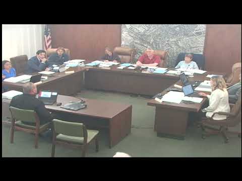
The Rolling Hills City Council voted unanimously to adopt updated fire hazard severity maps prepared by CAL FIRE and introduced ordinance No. 387 at the meeting, council members said during a roll-call vote.
Council members and county fire officials told residents the maps are based on updated modeling and climate inputs; the Los Angeles County Fire Department said only areas designated “very high” on the CAL FIRE maps will be subject to annual defensible-space inspections and enforcement.
The new maps, described by Assistant Fire Chief Bridal Kane of the Los Angeles County Fire Department as CAL FIRE’s updated LRA (Local Responsibility Area) maps, use a 2-kilometer grid of climate data covering about 2003–2018 and refine how ember transport and extreme-weather fire behavior are modeled. Kane said the maps evaluate “hazards, not risk,” and that hazard classifications reflect long-term physical conditions over a 30- to 50-year period without accounting for mitigation such as home hardening or recent fuel reduction.
Kane told the council, “Only in red, those areas inclusive in the red, will be inspected and or, mandated to comply with anything within the defensible space.” He and other officials said the maps were released in phases and that local agencies may request additions to the very-high zone if they can provide “substantial evidence of record,” such as fuel-modification projects or local fire history. Kane also said cities cannot use the CAL FIRE process to reduce mapped hazard levels but can choose to adopt maps that are more stringent than CAL FIRE’s recommendation.
During public comment and council discussion, residents raised insurance and enforcement concerns. Resident Fred Visco urged the city to press utilities and regional agencies to provide detailed infrastructure and monitoring data and to hold a public hearing with California Water Service (Cal Water) about water-supply readiness for a major wildfire. Several residents and council members said they worry about the insurance consequences of being mapped “very high.” Council discussion noted a 120-day window for adopting or rejecting the recommended maps after release and that the new mapping would be in effect for the 2026 fire season once the statutory process is complete.
Council member comments recorded during roll call show unanimous approval: Council Member Mersch — yes; Council Member Black — yes; Mayor Pro Tem Derringer — yes; Mayor Piper — yes.
The council and county fire officials also discussed an emerging Zone 0 concept that would apply to the first 0–5 feet next to a structure and could impose new restrictions on combustible materials and vegetation attached to exterior walls. Kane said the county will phase in enforcement and begin this season by requiring that “nothing growing on or attached to the house” be addressed in inspections conducted under existing Zone 1 authority. He cautioned that Zone 0 implementation raises practical questions — for example, how to treat shade structures or gates attached to homes — and that Sacramento is still finalizing precise Zone 0 rules.
The council voted to adopt the ordinance establishing the CAL FIRE-recommended LRA maps and to proceed with the local ordinance required by state law. Staff said the ordinance must be returned for a second hearing and that local adjustments remain possible if the council can assemble the substantial evidence CAL FIRE requires to expand very-high-designated areas.
Looking ahead, staff and county fire officials said the community can expect additional outreach and phased enforcement before the map’s provisions become active for the 2026 fire season.