Get Full Government Meeting Transcripts, Videos, & Alerts Forever!
Get email alerts on the Transportation topic
No spam. Unsubscribe anytime.
SamTrans and Belmont officials launch Central El Camino Real multimodal study; outreach through July
Summary
SamTrans introduced an 18‑month Central El Camino Real multimodal plan covering San Mateo, San Carlos, Belmont and part of Redwood City. The study will develop alternatives to improve safety, walking and biking continuity, and bus performance; public engagement is open through July 13.
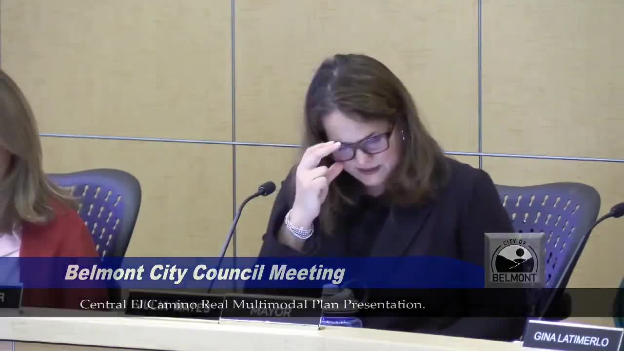
SamTrans staff and Belmont officials on Tuesday introduced the Central El Camino Real (ECR) multimodal plan, an 18‑month study that will develop locally defined multimodal design alternatives for the roughly 8.5‑mile corridor through San Mateo, San Carlos, Belmont and a portion of Redwood City.
The study is funded in part by a 2023 Metropolitan Transportation Commission transit performance initiative grant and SamTrans district funds; Belmont is contributing in‑kind staff resources. Cassie Halls, manager of major corridors at SamTrans, told the City Council the project "aims to address safety and mobility issues on El Camino, which is a state route, officially owned by Caltrans, and is the backbone of San Mateo County." She said the work will feed coordinated Caltrans project development to speed delivery of corridor improvements.
The multimodal plan will inventory corridor needs, develop a set of alternatives and identify a locally preferred alternative that balances regional and city priorities. Asya Patel, a SamTrans planner, summarized Belmont‑specific outreach and prior plans SamTrans will build on — the city’s 2016 Comprehensive Pedestrian and Bicycle Plan, the Belmont Village Specific Plan, and San Mateo County and SamTrans studies — and noted the SamTrans 2022 bus speed and reliability study did not recommend dedicated bus lanes on this segment but did identify other bus and signal interventions.
SamTrans and Belmont staff said common problems on the corridor include gaps in sidewalks, narrow sidewalks, inconsistent crosswalks, limited low‑stress bike facilities and slow bus speeds. The presentation included examples of spot improvements being considered (crossing upgrades, signal and phasing changes, traffic calming, sidewalk infill) and explained treatments such as "queue jumps," which give buses a short signal or lane advantage at intersections to reduce delay without building continuous bus lanes.
Chelsea (SamTrans engagement lead) outlined a Phase 1 outreach period running May 19–July 13 with pop‑ups, multilingual fact sheets (English, Spanish, simplified Chinese and Russian for this community), community‑based organization meetings, listening sessions, and an online map‑based survey that allows users to drop pins on problem locations. Staff noted they had already done an initial pop‑up and planned a presence at Belmont’s Music in the Park event on June 22 and the Belmont flag‑raising on June 3.
Council members urged broad outreach — including neighborhood associations, Silicon Valley Bike Coalition and rider outreach — and practical ways for commuters to respond such as QR codes on buses and at events. Members also raised complementary topics such as the role of local shuttles, Caltrain access, and the need to link this work to Belmont’s bike‑and‑ped plans. Speakers from the public, including cyclists and residents, urged route‑level planning, safer bike facilities, and clear communications to residents about proposed changes and trade‑offs.
The presentation was informational; no council decisions were required at the meeting. SamTrans staff said the technical team will develop alternatives and return with trade‑offs and a recommended preferred alternative in a later meeting, after the Phase 1 outreach concludes.
Ending: SamTrans and Belmont staff asked the council to help amplify outreach and noted materials will be left with the city clerk. The online project hub is (as presented) central.samtrans.com with the map‑based survey available until July 13. The council did not vote on the plan at Tuesday’s meeting.