Get Full Government Meeting Transcripts, Videos, & Alerts Forever!
Get email alerts on the Stormwater And Fema topic
No spam. Unsubscribe anytime.
LDRC workshop covers stormwater applicability, agricultural exemptions, CRS scoring and FEMA map timing; one item moves to public hearing
Summary
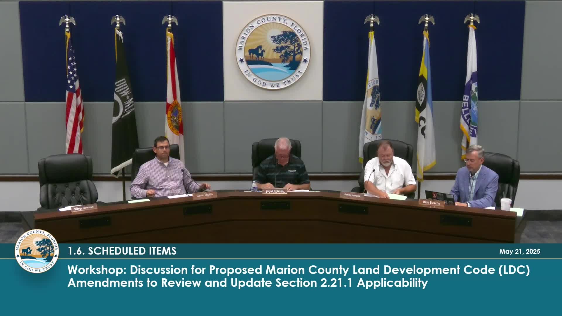
Marion County staff and commissioners held an extended workshop to discuss proposed LDC changes covering stormwater applicability, agricultural exemptions, drainage criteria, CRS scoring and FEMA map timing; the commission moved one applicability item to public hearing and asked staff for further analysis on the rest.
Marion County staff and commissioners held an extended workshop discussion on multiple proposed Land Development Code amendments related to stormwater applicability, agricultural exemptions, floodplain mapping and Community Rating System (CRS) scoring. County Engineer Stephen King and stormwater engineer Jason Cambrey led the discussion and asked the commission for guidance on several technical points.
Key points and outcomes:
• Applicability thresholds and impervious caps: Staff proposed an applicability rule that uses “the lesser of 35% of the gross area or 30,000 square feet,” and discussed a related prior-code threshold that used 3%. Commissioners questioned the origin of the 3% and whether the 3% vs. 30,000-square-foot cap produces intended results on parcels from 10 to 100 acres. The 3% figure remains in the draft as a percentage cap, subject to the cap at 30,000 square feet for larger tracts.
• Bona fide agricultural exemptions: King told the commission he had quoted the Florida statute for the bona fide agricultural exemption that limits local permitting authority over improvements deemed bona fide agricultural. Staff explained the statute exempts certain agricultural buildings from local permitting except where floodplain-management provisions apply. The draft language was changed to remove the requirement that had attempted to impose multiple conditions on bona fide agricultural improvements; floodplain provisions still apply.
• Off-site drainage condition (E-4) and the 200-foot rule: Commissioners debated subsection E-4, which would prohibit increases to off-site drainage; some argued E-4 is redundant or unrealistic because improvements typically change drainage patterns. Staff and commissioners discussed removing E-4 and relying on other criteria (for example, E-5, which disallows discharge to documented downstream problem areas). Commissioners also proposed adding explicit wording that driveways must be a minimum of 200 feet from the property line (an accommodation for certain driveway configurations), and staff indicated they would include language such as “driveways are a minimum of 200 feet from the property line” if the board wanted that clarification.
• Permeable vs. impervious surfacing: The commission discussed how to treat pavers, crushed concrete and other aggregate surfacing. Staff said the county would accept engineering backup demonstrating permeability and may treat such surfaces with measured permeability values rather than a binary pervious/impervious designation; some project-level engineering or DRC waiver processes may be used. Commissioners and staff noted long-term maintenance can reduce pervious performance.
• Removal of open-basin criteria and CRS implications: Staff presented substantial proposed changes to basin design criteria, including eliminating the open/closed basin distinction and instead focusing on whether downstream flooding is present. Staff warned the change is ‘‘fairly dramatic’’ and could be ‘‘cataclysmic’’ to historic drainage practice; commission members asked staff for quantitative modeling showing how point changes would affect the county’s CRS rating and what that would mean for flood-insurance premiums. Commissioners requested staff return with analysis showing likely CRS point changes and corresponding insurance-rate impacts before deciding whether to remove open-basin criteria.
• FEMA map revisions (CLOMAR/LOMAR) timing: Staff proposed a requirement that conditional letter-of-map-revision (CLOMAR) actions be requested within 60 days of improvement plan or major site-plan approval. Several commissioners and engineers argued CLOMARs are often unnecessary and of limited usefulness until construction is complete, and that a final LOMAR after as-built surveys is the controlling document. Staff noted an existing code requirement that map-change submittals be made for projects with no base flood elevations when development meets thresholds (for example, 50 lots or 5 acres). Commissioners asked staff to revise the timing requirement so submission aligns with construction completion (as-built) and to allow waivers where appropriate; one speaker cited an approximate $25,000 cost to pursue a LOMAR in some cases.
Outcome: The commission voted unanimously to move item 1.6 (the 2.21.0.1 applicability changes, with the removal of E-4 as discussed) to a public hearing. The broader, more substantive topics — removal of the open-basin criteria and the FEMA CLOMAR/LOMAR timing language — were left for additional study and will return to the board after staff performs the requested analyses (CRS-point modeling, insurance-impact calculations, and revision of the LOMAR/CLOMAR timing language). Several commissioners asked staff to test the proposed stormwater criteria on representative projects and return with numerical comparisons.
Speakers who took part in the technical discussion included County Engineer Stephen King, stormwater engineer Jason Cambrey, Growth Services staff (Ken Weir), and multiple commissioners who raised questions about drainage, driveway exemptions, permeability testing and FEMA mapping timing.
No final regulatory change was adopted at the workshop for the items that require additional analysis; only the applicability amendment (1.6) was advanced to public hearing.