Oro Valley staff previews 'OV Trails Connect' 30% draft; Strava heat maps and public outreach inform priorities
Get AI-powered insights, summaries, and transcripts
Subscribe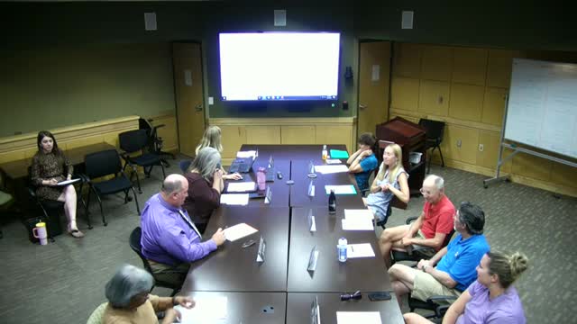
Summary
Planning manager Bayer Vella presented a 30% draft vision and guiding principles for 'OV Trails Connect,' emphasizing community outreach (trail‑side chats, online survey), use of Strava heat maps to identify high‑use corridors, and the need to resolve easement gaps and funding for new trails and amenities.
Town planning manager Bayer Vella presented the early draft of OV Trails Connect — a focused trails and multi‑use paths master plan — at the Parks & Recreation Advisory Board meeting May 20.
Vella described the presentation as a 30% draft and said the plan is intended to produce a prioritized set of specific actions for the next 10 years. He summarized outreach to date as layered: a web‑based survey that drew several hundred responses, trail‑side engagement that produced more than 700 comments, stakeholder meetings and a technical/regional advisory group that includes Pima County, Marana and Catalina State Park staff. "We're calling this our 30% draft. It's extremely rough," Vella said, asking the board for feedback before the project moves toward a 90% draft in the fall and a likely recommendation to town council in December.
A recurring theme in the outreach, Vella said, is reinvesting in existing assets: improving preventative maintenance, increasing basic amenities and enhancing wayfinding. Respondents requested restrooms and water at major trailheads, better signage and mile markers for emergency response, and clearer electronic and printable mapping, including difficulty ratings and information suitable for families and people using strollers or accessibility devices.
The planning team has used aggregated Strava data to create heat maps showing actual usage patterns. Vella said the data helped identify high‑use corridors, with the loop, Big Wash Trailhead and the Vistoso Trails Nature Preserve among the most used areas. "Big Wash Trailhead was off the charts," he said. The Strava data are intended to be combined with deed and easement research; staff reported that some commonly used paths do not have recorded public easements, which creates a follow‑up workload of mapping and pursuing access agreements.
Vella described options for expanding trails on state trust land (Arizona State Trust Land) — including purchasing easements or negotiating trail conservation when land is developed — and emphasized that any plan will require regional partnerships because ownership and maintenance responsibilities cross jurisdictions. He also said the plan team is examining funding approaches used elsewhere, such as Marana’s partial bed‑tax allocation to open‑space and trails, volunteer construction by groups such as the Sonoran Desert Mountain Bike Association, and pursuit of grant funding.
Board members suggested specific additions (for example, bike racks at destinations, signage solutions that are not intrusive, mapped route difficulty for families and children, and access improvements such as added connectors from neighborhoods). Staff said they will return with maps that show existing easements, usage heat maps and proposed priority projects.
Ending: Vella asked board members to continue sending input and said staff will return with a more detailed draft and maps in the coming months.