Get Full Government Meeting Transcripts, Videos, & Alerts Forever!
Get email alerts on the Flooding And Water Management topic
No spam. Unsubscribe anytime.
Southwest Florida Water Management District shows updated floodplain mapping; Powell Road residents warn development worsened flooding
Summary
The Southwest Florida Water Management District presented watershed mapping for Powell, Peck Sink and Squirrel Prairie basins. Residents at the Brooksville City Council meeting urged stricter scrutiny of Southern Hills and similar developments, citing repeated flooding, well contamination concerns and a delayed independent study.
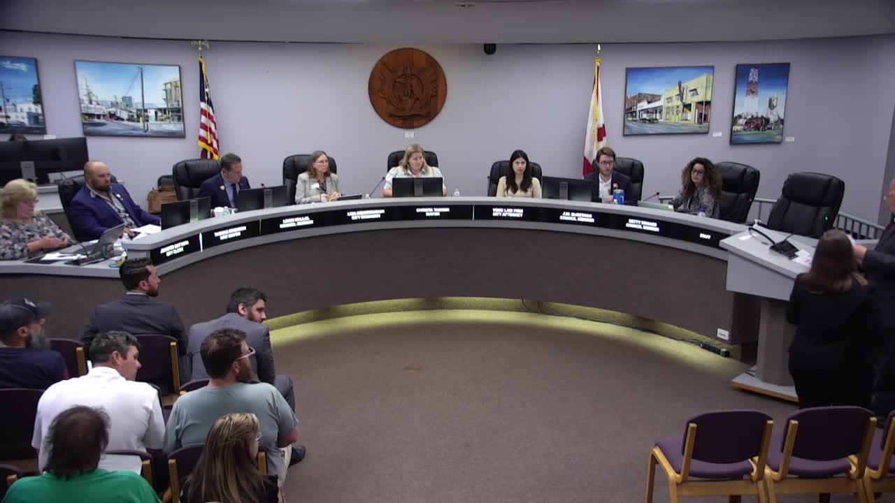
Southwest Florida Water Management District engineers presented updated watershed and floodplain mapping to the Brooksville City Council on May 19, showing detailed lidar-based topography and model outputs for the Peck Sink, Powell and Squirrel Prairie watersheds.
The presentation, led by Therese Power, the district’s engineering and watershed management section manager, explained the district’s process for building watershed management plans using lidar terrain data, desktop watershed evaluations, high-water marks from residents and model calibration. Power said the district is not creating new flood plain but mapping low-lying closed basins more precisely: “We’re simply mapping more accurately these flood plain areas that have always been there.”
Why it matters: residents who live downhill from new development told the council they have seen increased flooding and groundwater changes after truckloads of fill were moved into subdivisions such as Southern Hills. Several speakers said past promises to remediate stormwater problems were incomplete or not implemented.
Public comment at the meeting included multiple homeowners from the Powell Road area and nearby roads. Michael Delohe, a Powell Road resident of about 40 years, described water flowing toward his house after recent storms and urged the city to consider retention options: “Why don’t we dig out that sinkhole and all the low marsh areas on that land, dig them down 30 feet, make them a retention pond… Don’t dump it on us.” Bob Detwiler said fill used to raise home pads in Southern Hills appears to have shifted runoff onto adjacent property: “You bring truckloads of dirt and fill it in … where do you think the dirt the water's gonna go? … It’s gonna be downhill. And that's Powell Road and beyond.”
Resident Amanda Delohi Bailey cited research linking pesticide use near residential areas to health risks and argued that well-water vulnerability and past flood maps show Powell watershed has long-standing flood risk. “The Powell Road watershed is a 7.4-square-mile area that historically experienced flooding in its lower areas,” she said, noting earlier maps and the need to ensure legal protections remain effective after annexation.
District engineer Therese Power and regulatory lead David Kramer described the technical basis for the maps. Power said many district models rely on lidar collected in February 2007, with refinements and local validation: “The lidar data is converted to a digital elevation model … a model is only as good as the terrain that it's built on.” When asked about the age of the lidar, Power acknowledged some terrain data are from 2007 and that more up-to-date lidar exists, but said the models built for past studies used the earlier dataset and are periodically updated as new surveys are available. Kramer described how environmental resource permits for new development must address “any change, loss, displacement, or impacts to that storage or that floodplain” identified in the district studies.
Council and staff responses: Council members repeatedly told residents that the council cannot retroactively undo older approvals and emphasized that future permitting must show no adverse impacts. City staff said they had tried twice to secure an independent flood-flow study and that the district delivered a presentation so the council and public could see methodology before any development decisions returned to the city.
What’s next: The district’s mapping and supporting data are available from the Southwest Florida Water Management District and some study areas have been submitted to FEMA for map adoption; FEMA adoption requires additional review and public notice. Residents asked for updated topography and focused follow-up from both the district and local permitting authorities before approvals of further development in the affected basins.