Get Full Government Meeting Transcripts, Videos, & Alerts Forever!
Get email alerts on the Fire Hazard Map topic
No spam. Unsubscribe anytime.
Council adopts Cal Fire 2025 Fire Hazard Severity Zone map for Big Bear Lake
Summary
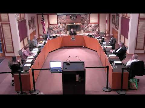
City Council adopted the California Department of Forestry and Fire Protection (Cal Fire) 2025 Fire Hazard Severity Zone designation map as required by state law. Staff noted the city saw a reduction in acreage designated as very high hazard compared with prior maps and warned of potential future building‑hardening requirements.
The City of Big Bear Lake adopted an ordinance June 11 to incorporate the California Department of Forestry and Fire Protection (Cal Fire) 2025 Fire Hazard Severity Zone designation map in accordance with California Government Code section 51179.
City staff and the city manager explained the state requires local agencies to adopt the Cal Fire designated fire hazard severity zones. Staff said the 2025 maps showed a reduction in acres designated very high compared with earlier maps for this jurisdiction: the city’s very high designation declined from 3,476 acres in an earlier iteration to 2,773 acres in the 2025 map, with some acreage moving to high and moderate categories.
Staff noted agencies are required to post the maps publicly and solicit comments; the city posted maps and collected written comments that were included in the staff report. The presentation warned that the state building code and local implementation may require increased “hardening” measures for structures in or near the mapped zones, such as covering eaves and using non‑combustible materials for decks and other elements, and that insurance rates may be affected by zone designations.
Several councilmembers and residents urged continued work on home hardening and fuel reduction measures. After a public hearing that included citizen comments, the council adopted the ordinance and transmitted the adopted map to the state fire marshal’s office as required by statute.
Adoption obligates the city to post the map and begins any state‑timed deadlines associated with the designation; staff said they will continue outreach on home hardening and emergency planning.