Get Full Government Meeting Transcripts, Videos, & Alerts Forever!
Get email alerts on the Trails Active Transportation topic
No spam. Unsubscribe anytime.
Transportation board asks council to fund feasibility study for Canyon Rim Trail extension
Summary
The Transportation Board unanimously recommended that the County Council fund an updated feasibility study to extend the Canyon Rim Trail west toward Los Alamos Medical Center, citing steep terrain, DOE/LANL easement needs and cost escalation as principal constraints.
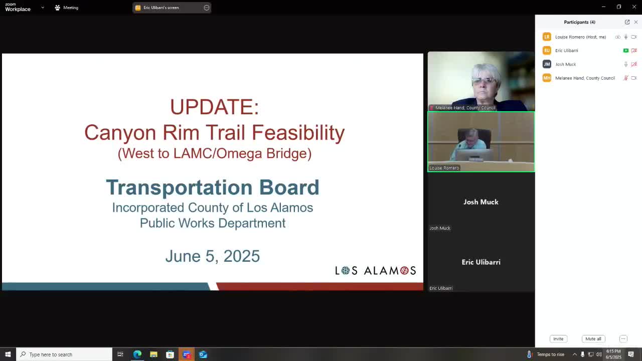
The Transportation Board voted unanimously to ask the County Council to fund a feasibility study to evaluate extending the Canyon Rim Trail westward toward Los Alamos Medical Center.
County Engineer Eric Ulibarri told the board that the trail concept dates to the county master plan and subsequent bicycle and feasibility studies; the 2016 feasibility work identified multiple alignments but also flagged major constraints, including steep canyon-edge cliffs, legacy DOE fill and monitoring sites, tree and biological protections, and the need for easements across Los Alamos National Laboratory (LANL) or DOE property.
Ulibarri said the most direct alignments would require substantial coordination with LANL/DOE and likely additional security, badging and monitoring requirements during construction and potentially for portions of the trail. He presented four conceptual alignments from the 2016 study (red, pink, blue, green), noted that some easements for Phase 3A have since been acquired, and warned that previously developed 2016 cost estimates are likely “about 70% higher” in current dollars.
Explaining why a refreshed study matters, Ulibarri told the board: “The majority of these alignments require a lot of LANL and DOE coordination and then everything that comes along with that.” He outlined constructability needs that could raise costs: pedestrian bridges, retaining walls, rock excavation, drainage structures and tree-management timing tied to nesting seasons.
Board members raised questions about whether portions of the alignment would require public badges for trail users, whether monitoring equipment or DOE oversight would be required, and whether eminent domain could be used for private-property segments. Staff said eminent domain is available for private parcels but not for federal land and cautioned it would be a last-resort tool.
After discussion, a board member moved that staff prepare a proposal to ask Council to fund a feasibility study; the motion instructed staff to include updated cost estimates, right-of-way analysis, physical/cultural/biological impediments and early coordination with LANL. A second was made; the motion passed unanimously.
Ending: Staff said the same proposal will be presented to the County Council and noted that recent easement acquisitions for Phase 3A and cost escalation were driving the request for updated analysis.