Get Full Government Meeting Transcripts, Videos, & Alerts Forever!
Get email alerts on the Wildfire Risk And Mitigation topic
No spam. Unsubscribe anytime.
Lake Forest council adopts state 2025 fire-hazard map after residents press for local mitigation
Summary
The City Council unanimously adopted the California Department of Forestry and Fire Protection(CAL FIRE) 2025 Local Responsibility Area fire hazard severity zones map after a public hearing that included calls from residents for more local mitigation and descriptions of neighborhood fuel-reduction efforts.
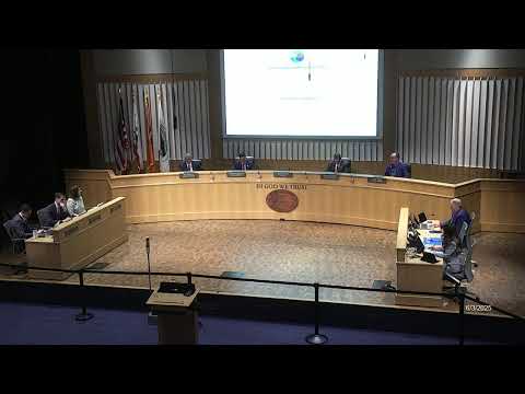
The Lake Forest City Council unanimously adopted an ordinance at its June 3 meeting to incorporate CAL FIRE's 2025 fire hazard severity zone map into the municipal code.
City Senior Planner Ron Santos told the council the state map, prepared under Assembly Bill 337, designates three hazard categoriesmoderate, high and very highbased on fire science models that consider vegetation, slope, weather and historical fire behavior. He said state rules require local jurisdictions to adopt the state-designated map and noted the 2025 map expands very-high hazard designations in some areas of the city while removing them in a few developed pockets.
The map matters for permitting and construction: Santos said the California Environmental Quality Act, the city's subdivision code (title 7 of the municipal code) and the California Building Code impose different planning, access, defensible-space and fire-resistive construction requirements depending on the zone. He said local governments may upgrade (make a zone more restrictive) but cannot downgrade the state's determination without making specified findings.
Residents at the public hearing urged both adoption and faster local action. Andrew O'Connor pressed the council on perceived gaps in on-the-ground protections in Foothill Ranch and Portola Hills, saying he had experienced multiple evacuations and urging water-based defenses and other investments. Dana Silva, who said she chairs a Portola Hills Firewise committee, described a CAL FIRE grant her group obtainedabout $2.9 millionand reported that eight of 13 targeted slopes for fuel modification are complete; she asked the city to partner to remove brush near Concourse Park.
Marcel Louis the Fourteenth told the council the state mapping process leaves little time before fire season for communities to adapt and warned that mandatory fuel modification will increase HOA costs. He urged the council to pursue practical, rapid solutions and offered to meet with staff to discuss his proposals.
Assistant Fire Marshal Nick Pivaroff and Division Chief Mike Summers of the Orange County Fire Authority (OCFA) were present to answer technical questions. Pivaroff said the state mapping process does not account for short-term mitigation such as cameras, fuel breaks, or localized abatement; it is a hazard map based on terrain, fuels and historical conditions, not a risk map that would incorporate existing mitigation work. Summers and OCFA representatives noted early-detection camera coverage and other operational measures the county uses.
Councilmembers said they would pursue coordinated, cross-jurisdictional responses. Councilmember Doug Servo, who represents areas adjacent to the newly designated zones, said he's been working with county and regional partners and pledged to attend neighborhood meetings. City staff said the ordinance will be transmitted to the State Office of the Fire Marshal as required after adoption.
The city voted to adopt the ordinance and repeal the 2007 map ordinance; the motion passed unanimously.