Get Full Government Meeting Transcripts, Videos, & Alerts Forever!
Get email alerts on the Public Outreach Mapping topic
No spam. Unsubscribe anytime.
Committee previews draft climate ‘story map’ and plans outreach with QR codes and postcards
Summary
Town coastal resilience staff presented a draft Block Island climate hotspot story map. The committee discussed linking the map to town/Nature Conservancy pages, adding lessons from local projects, and using postcards, QR codes and multilingual materials for summer outreach.
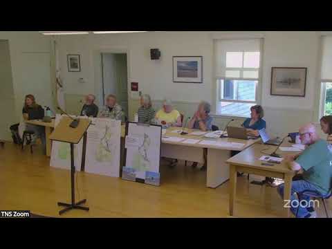
Nora, who developed a draft “Block Island climate hotspot” story map, showed the committee an interactive map intended to gather existing plans, project links and public-facing resources for hotspots such as Corn Neck Road, Bridgecate Square, North Light and West Beach.
Why it matters: Committee members said a single, user-friendly hub could help residents and visitors find local assessments, ongoing projects and “what has worked/what hasn’t” examples of bluff and beach interventions. The map is meant to support community education and to direct people to town documents and presentations.
What the draft includes
- Content and links: Nora said she incorporated town documents, GZA survey slides, presentation recordings, and links to the hazard mitigation plan. The draft includes a “take action” section with suggestions such as attending committee meetings and participating in coastal monitoring programs.
- Format and hosting: The draft ArcGIS story map is live; Nora plans to link it to the Nature Conservancy/committee web presence and to place the story map on the Town’s site. The committee discussed making the story map available via QR codes and rack cards at public locations.
- Local project tracking: Several members urged the map to list past and current shoreline projects and permit records—“what worked, what didn’t, where,” as committee member Nigel put it—so owners and neighbors can learn from previous installations.
- Accessibility and outreach: Members recommended translating the map content into Spanish and distributing postcards and rack cards to post office boxes and vendors. The committee discussed using the Town Beach pavilion or an early-September event to promote the map and gather public feedback.
Committee support and next steps
Allison, the town planner, said the town’s hazard mitigation plan has been FEMA-approved and that project websites and slides from the Corn Neck Road public engagement would be available for linking. Nora said she could accept feedback by Google form and update the map iteratively. Several members volunteered to help compile a list of past shoreline projects and local permits to add to the map.
Ending
The committee agreed to continue refining the story map and to coordinate outreach—QR codes, postcards, and a public event linked to upcoming consultant presentations—before and during the summer outreach season.