Get Full Government Meeting Transcripts, Videos, & Alerts Forever!
State hazard maps expand wildfire zones across San Luis Obispo; city outlines implications for homeowners
Summary
San Luis Obispo City fire officials told a packed community forum that CAL FIRE's hazard maps published March 10 expanded the wildfire hazard footprint inside city limits and that the city will take steps ahead of a scheduled City Council hearing.
San Luis Obispo City fire officials told a packed community forum that CAL FIRE's hazard maps published March 10 expanded the wildfire hazard footprint inside city limits and will require local action ahead of a scheduled City Council hearing this summer.
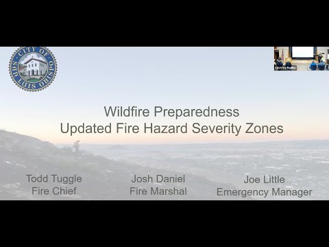
"The state published the maps on March 10," said Fire Chief Todd Tuggle. "We are going to go to council on June 3 for the first reading of the hearing. They will be adopted by July 1, and that's in compliance with the law."
The maps, created by CAL FIRE and the Office of the State Fire Marshal, classify land by vegetation, topography and historic weather and now extend hazard zones farther into developed neighborhoods than the city's 2012 local maps did. Fire staff said about 2,800 parcels are now in the "very high" fire hazard severity zone and that the three mapped levels together now affect roughly 60 percent of the city.
City officials emphasized the difference between the hazard maps and local policy decisions. "These are hazard maps, they are not risk maps," Tuggle said, explaining the maps show the hazard from vegetation and ember cast, not individual property risk assessments.
Why it matters: council timing, disclosures and inspections
City staff said the council will consider adopting the local hazard map so the city complies with the state-mandated timeline. Officials described several near-term consequences residents should expect:
- Defensible-space and home-hardening standards: Staff identified Chapter 7A of the California Building Code (commonly discussed as the home-hardening code) and state Government Code section 51182 (defensible-space/vegetation management) as references that inform required measures in very high and high zones.
- Real-estate disclosures and…
Already have an account? Log in
Subscribe to keep reading
Unlock the rest of this article — and every article on Citizen Portal.
- Unlimited articles
- AI-powered breakdowns of topics, speakers, decisions, and budgets
- Instant alerts when your location has a new meeting
- Follow topics and more locations
- 1,000 AI Insights / month, plus AI Chat