Clute council hears $568 million capital-improvement plan focusing on streets, sidewalks, drainage and facilities
Get AI-powered insights, summaries, and transcripts
Sign Up Free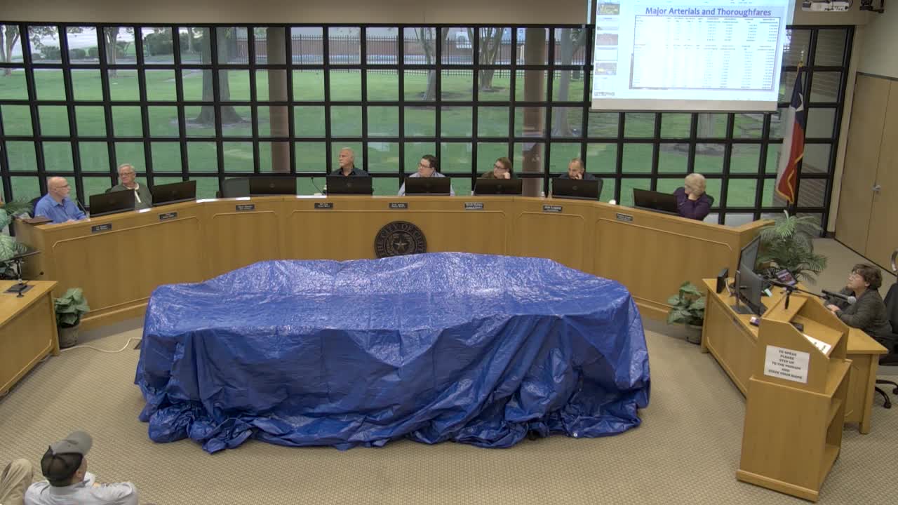
Summary
City staff presented a six‑year capital improvement plan that maps out infrastructure, policy and economic development tracks and lists neighborhood- and corridor-level projects with preliminary cost estimates; council asked staff to return with a workshop and further prioritization.
At a meeting of the Clute City Council, staff presented a proposed six‑year capital improvement plan that lays out $568 million in unmet infrastructure and facilities needs and asks council to prioritize projects as the budget season proceeds.
The plan divides the work into three tracks: infrastructure (streets, sidewalks, drainage and facilities), policy (comprehensive plan and development code updates) and economic development (property acquisition and incentives). Staff described neighborhood‑level reconstructions, major arterials and a set of facilities upgrades, and asked the council whether to prioritize main thoroughfares or neighborhood clusters as it moves into the 2026 budget cycle.
Staff said the plan was built by measuring each street segment, estimating square footage and computing reconstruction costs. Examples highlighted during the presentation include a roughly $2.9 million estimate to rebuild streets in the Austin/Godfrey/Lewis/Nursery/Robertson/Wade cluster (about 4,700 linear feet; 117,000 square feet); a Midtown package that could total about $24 million; and an Angleton Road reconstruction concept that would widen the curb‑to‑curb profile to about 40‐41 feet and cost about $10 million. Staff also presented Main Street divided into three segments (A: 332 to Commerce; B: Commerce to Plantation; C: Plantation to 288B) with differing cross‑section concepts (boulevard section with median for Segment A; a lower‑profile “center” treatment for Segment B; and local street repairs for Segment C).
The presentation notes that typical full reconstruction (re‑bed, curb and gutter, sidewalk) runs roughly $1 million per mile when done to the standard profiles used in the plan, and that some neighborhoods now have travel lane widths ranging from about 9½ feet to 26 feet. Staff emphasized the cost drivers: curb/gutter, drainage, utility relocation and, in some corridors, the need to replace aging subsurface water/sewer infrastructure before final paving.
Staff presented a neighborhood zoning of 11 planning zones (Old Lake Marlborough north/south, Cobb Park, Austin subdivision, West Side, College Park/Lake Bend, Bryant, Emerald, the "Wedge" between the railroad and Brazos Fort Boulevard, and others) and said the plan shows per‑zone square footage and estimated costs intended to allow phased implementation. The CIP also proposes several parks and facility projects: a $1.2 million Shanks Lake pavilion/fishing pier/boardwalk package; options for replacing the municipal pool (estimates shown were roughly $9.7 million for straight replacement, $12.5 million for a redesigned amenity with a lazy river); and a potential $2 million site retrofit for a small amusement/food‑truck area. A new police station and relocation of the city service center were also included in the facilities list, with a building total of roughly $14 million shown in the plan.
Staff said the city will not be able to address all arterials and neighborhoods immediately and noted two debt issues falling off in 2026 and two more in 2029; staff estimated the city could safely issue roughly $32–34 million without raising the baseline tax rate, but said that would be subject to final valuation and finance planning. “It’s a lot of money,” staff said, noting that the city will need to balance visible, high‑profile projects with essential but less obvious work such as drainage and utility replacement.
Councilmembers asked for more granular prioritization and asked staff to return with a workshop that lays out phasing, funding options and financing scenarios. Council also discussed leveraging grants (for example, smaller grants for park improvements) and noted that many projects will require coordination with utility and state partners for relocation of lines or reuse of material. No formal vote was taken on the CIP; council directed staff to schedule a workshop and to return with refined project lists and financing scenarios for council review.
The presentation and the council discussion outlined tradeoffs staff will use to prepare a draft CIP for the budget: target high‑visibility corridor projects for public reassurance while staging neighborhood reconstructions to capture contractor mobilization efficiencies and to limit traffic disruption.
The council asked staff to provide clearer cost breakdowns (per‑mile, per‑square‑foot, and likely funding sources) when the item returns for the workshop and budget adoption.