Get email alerts on the Transportation Outer Loop topic
No spam. Unsubscribe anytime.
Rockwall County consortium studies southern alternatives for proposed Outer Loop
Summary
County officials and consultants reviewed seven southern alignment alternatives for the proposed Outer Loop, discussed displacement estimates and timing for environmental clearance, and said they will send selected alternatives to the regional council of governments for traffic modeling.
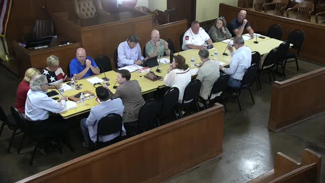
Rockwall County officials and transportation consultants reviewed seven proposed southern alignments for the regional Outer Loop and heard preliminary displacement and proximity estimates Wednesday during a Rockwall County Road Consortium meeting.
The discussion focused on where the southern leg of the Outer Loop could connect to Interstate 30, how many homes and businesses would be affected and the next technical steps needed to reach environmental clearance and a locally preferred alternative. Matt Craig, a consultant with HAF, said the team has narrowed options to three leading alignments and added several variations after recent public and city briefings.
Craig told consortium members the green–purple alignment is the team’s technically preferred choice because it showed the fewest direct residential and commercial impacts in the county’s GIS analysis. He said that, for that alignment, the preliminary counts were 55 residential displacements, 3 commercial displacements and 53 residences located within 500 feet of the proposed right‑of‑way. Craig said those figures include properties on both sides of the Hunt County line where some alignments cross county boundaries and that the team will clarify county‑specific counts as they complete the evaluation.
Why it matters: the Outer Loop is already in regional planning documents and the consortium said preserving an alignment now could reduce future acquisition costs and legal conflict if development occurs along potential corridors. Consortium members repeatedly urged timely traffic modeling and coordination with the regional council of governments (COG) so the county can identify a locally preferred alternative and pursue federal environmental clearance.
Key details: Craig summarized the project schedule and scope. The regional plan currently programs the project in phases, with frontage roads and main lanes staged across future decades; the consultant said those programming years are reflected in the regional plan. Phase 1 work is the schematic and environmental analysis that will establish a precise footprint; phase 2 will analyze additional alignments where the phase‑1 footprint does not overlap. Craig said the team expects to finish the phase‑2 evaluation and return with a draft evaluation matrix next spring–summer, pending COG traffic model runs.
Several elected officials and city representatives urged speed in getting traffic modeling done so the county can protect its preferred corridor. Consortium members discussed a new county corridor agreement tool that may let a county preserve a corridor in unincorporated areas once a project has federal environmental clearance. Consultants and commissioners warned that until environmental clearance and the corridor agreement are in place, plats and development submitted before those protections could complicate or raise the cost of later right‑of‑way acquisition.
Next steps and public process: the consultant said he will take the alternatives and the consortium’s feedback to the regional council of governments for multiple traffic model runs (six scenario runs were described) and bring back refined traffic, displacement and impact analyses. Consortium members agreed to an additional internal call next week to finalize any tweaks before the consultant submits the alternatives for modeling. The consortium also plans to meet monthly going forward and to post the presentation materials for public review after the group finalizes what it will send to the COG.
The discussion also reviewed mitigation options (for example, switching from an elevated bridge to a subgrade alignment where feasible, adding landscaped berms or other buffers) and reconfirmed that environmental avoidance is the first priority; where avoidance is not possible, mitigation and enhancement measures would be required under the environmental process.
No formal votes were taken at the meeting. The presentation materials and a follow‑up call were scheduled; modeling results are expected in roughly two to three months, after which consortium members said they hope to be in position to identify a locally preferred alternative.
AI generated
The text on this page is AI generated. Summaries, highlights, analysis, and video transcripts are all produced from the original source material.
AI can make mistakes, so if you spot one, and we will fix it for everyone.
Note: the source content is unaltered by us. Any content source we link to, be it a video, an audio recording, or a document, is presented exactly as its publisher released it. That publisher is usually a government body, sometimes an individual official or another organisation.