Get Full Government Meeting Transcripts, Videos, & Alerts Forever!
Get email alerts on the Public Safety Fire topic
No spam. Unsubscribe anytime.
Council adopts updated fire hazard severity zones; staff to pursue fuel-mitigation grants and community programs
Summary
Following staff presentations and public engagement, the council unanimously adopted an ordinance to adopt Cal Fire's updated hazard severity maps and directed staff to pursue grants and community mitigation including a workforce development fuel crew and Firewise initiatives.
The Vista City Council unanimously adopted an ordinance on June 10 to incorporate Cal Fire's updated fire hazard severity maps into local policy and to enable targeted fuel-mitigation and preparedness activities in mapped high- and very-high-hazard areas.
Fire Chief Gerard Washington and Deputy Administration Brett Davidson presented the update, explaining that Cal Fire revised the maps (the most recent update released March 24, 2024) to expand areas designated medium, high and very high hazard and to incorporate ember-plume modeling. Chief Washington said the new mapping expanded coverage in the eastern parts of the city and in the Agua Hedionda and Buena Vista creek corridors, and that Cal Fire's methodology is set at the state level and not typically altered by local agencies.
Chief Washington and staff outlined mitigation steps made possible by adopting the maps and seeking grant funding: a proposed vegetation-management/workforce-development crew (grant application seeks to hire about 15 young people per year for three years, a total of 45), fuel-abatement work in creek bottoms, Firewise USA community engagement and an application to the Board of Forestry to be recognized as a "fire risk reduction community" (recognition could trigger insurance discounts). Staff also described grant-seeking through Cal OES for mitigation in three priority areas and the intent to apply for available grants that may require local matches.
The presentation also covered outreach and preparedness actions including red-flag warning signage in partnership with Vista Irrigation District, town-hall style community education and leveraging the Genesys Protect app and wireless emergency alerts to reach residents, including unhoused populations who have cell phones.
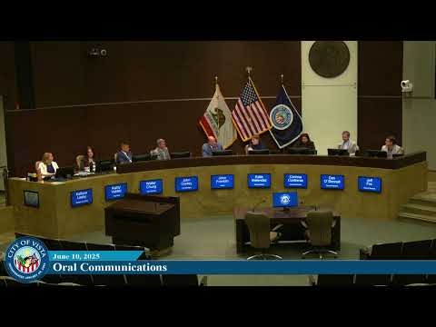
Council Member O'Donnell moved to close the public hearing and adopt the ordinance; Council Member Contreras seconded. Council members praised the department's preparedness focus and supported pursuing grants and community partnerships. The motion passed unanimously.
Why it matters: Adopting the updated Cal Fire hazard maps is a required step for local planning and unlocks eligibility for certain mitigation grants and programs. Staff emphasized that incorporating creek-bottom areas helps prioritize fuel-reduction work and grant requests designed to reduce future risk and potentially lower insurance impacts for residents.