Get Full Government Meeting Transcripts, Videos, & Alerts Forever!
Get email alerts on the Floodplain Mapping topic
No spam. Unsubscribe anytime.
Commissioners approve completion of countywide floodplain remapping amid questions about cost overruns
Summary
Williamson County Commissioners approved the final phase of a multi-year floodplain remapping project after debate over management and a roughly $200,000 overrun; a resident asked how study results will benefit homeowners.
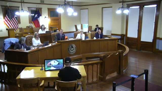
Williamson County commissioners on Tuesday approved the final phase of a multi-year floodplain remapping project — a package of agenda items 24 through 27 — after more than an hour of discussion about management, missed scope items and budget overruns.
The court voted 3-2 to approve the work that county staff said will create a uniform, countywide floodplain map and provide updated floodplain information for “some of our most active, developable zones,” county staff said. Commissioner Valerie Covey pressed for clarity about cost and scope during the discussion.
The project team told the court the original grant work was significantly underestimated and that miscommunication between staff and consultants contributed to missed scope and additional work. “There was, unfortunately, a long list of errors and missed estimates,” a county staff member said. The staff member said the work will allow the county to regulate to a single, uniform platform and provide more accurate science for development and public safety.
The court debate focused on money spent to date and on pockets of the county that were not included in the project’s original scope. Commissioner Covey said the work began five years ago and remains “a good idea,” but she and others pressed staff to explain why the county was returning to the court for more money. She said the current request is “at least $200,000 over budget” beyond prior overruns and earlier grant expectations.
Bill Kevaral, who identified himself as a Williamson County resident, urged the court to explain who would benefit from the studies and whether citizens would receive direct benefits. “What are we gonna do with the actual results of all these studies?...Is it an 80–20 split? Citizens gonna get 20 or 10 or 15?” Kevaral said during public comment. He cited a past joint study that recommended a fix to a low-water crossing in his neighborhood and asked whether repeated studies would produce concrete improvements for long-time residents.
Staff and the court described technical benefits of the remapping, including more LIDAR-based data and the ability to question engineering assumptions on plats using the county’s own dataset. “Now with our own data, we can ask questions like that,” one staff member said, adding that the county will be in a better position to test engineers’ drainage assumptions when developers submit plats.
Commissioners said the county is hiring HNTB to help manage the project in addition to county staff and acknowledged shared responsibility for prior management lapses. Supporters said the updated maps will help prevent development in flood-prone areas and provide long-term benefits to the county and developers who will plan using a single data source.
The approved motion did not specify further budget amendments in the public record; the court’s roll call vote was 3 in favor, 2 opposed. Because additional work and costs were discussed in public, the court did not identify any follow-up funding requests beyond staff’s current budget adjustments.
The court resolved to proceed with the final phase of mapping. Staff said the work will provide up-to-date floodplain information countywide and that, once complete, the county will not come back for additional mapping for the same scope.
The measure was one of several action items considered during the meeting; other votes on routine items were taken separately.