Get Full Government Meeting Transcripts, Videos, & Alerts Forever!
Get email alerts on the Public Safety topic
No spam. Unsubscribe anytime.
Board adopts State Fire Marshal-recommended fire-hazard severity zones; WUI requirements will apply in designated areas
Summary
The Board of Supervisors adopted an ordinance on June 3 to confirm the 2025 fire-hazard severity zone map recommended by the Office of the State Fire Marshal, placing WUI building-code requirements into effect in the designated local-responsibility areas.
The San Joaquin County Board of Supervisors adopted an ordinance on June 3 to designate 2025 fire-hazard severity zones consistent with the Office of the State Fire Marshal's recommendations. Assistant Director Merlo of the Community Development Department presented the map, explained the difference between local responsibility areas and state responsibility areas, and described the effect of local designation on building permits and wildland-urban-interface (WUI) code requirements.
Why it matters: designation of fire-hazard severity zones places WUI construction and defensible-space requirements on new development and remodels inside the mapped areas; that can affect building materials, permitting costs and, potentially, insurance considerations for property owners.
Scope and locations noted in the presentation
- The map identifies local responsibility areas in northeast and eastern portions of the county and in parts of the southwest near Tracy and Mountain House where the map shows moderate and high hazard designations. - Community Development staff specifically noted Clement's Fire Protection District, Linden/Peters, Farmington, Tracy and Mountain House as local-response areas where moderate and high hazard designations appear on the map provided by the Office of the State Fire Marshal.
Board discussion highlights
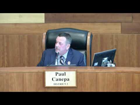
- Supervisor Rickman described increased local fire frequency and suggested staff explore incentives and coordination with Valley Air and CARB (California Air Resources Board) to find grant or incentive opportunities for private landowner fuel breaks and other mitigation measures. Staff said they had not yet explored that but would consult with local fire districts and relevant partners. - Supervisor Guardia asked whether the map had been updated recently; staff said an earlier map had been published in 2023 and that the government code now requires formal local adoption of the State Fire Marshal map. - Board members asked whether the designation would affect insurance; staff said they did not know whether insurance-rating changes would follow and cautioned that such financial impacts are outside the county's direct control.
Action taken
The board voted 5'''0 to adopt the ordinance designating the 2025 San Joaquin County fire-hazard severity zone map as recommended by the State Fire Marshal. Staff said the designation will be used when applying the WUI code for building permits in mapped areas and will be communicated to local fire districts.
What happens next
- Community Development will implement WUI requirements for permitting in designated zones and will coordinate with local fire districts and state agencies as needed. - Staff indicated they will follow up on mitigation funding options and coordinate with affected districts.
Ending: Adoption formalizes where additional building and defensible-space requirements apply in San Joaquin County and gives local fire districts and permitting staff a tool for enforcing WUI-related measures.