Get Full Government Meeting Transcripts, Videos, & Alerts Forever!
Oxnard staff recommends adopting state fire-hazard severity maps; 421 parcels mapped as high
Summary
City staff told the Oxnard City Council that state-updated fire hazard severity maps designate 421 parcels as high and 67 as moderate; staff recommended first reading of an ordinance to add the maps to the city code, with no vote recorded in the transcript.
Jeff Pingeli, community development director for the City of Oxnard, presented an agenda item asking the City Council to adopt updated fire hazard severity zone maps published by the California Department of Forestry and Fire Protection (CAL FIRE) and the Office of the State Fire Marshal.
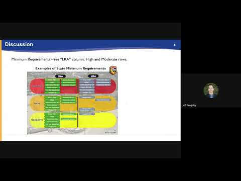
"This is a fire hazard severity zone map adoption item," Pingeli said, explaining that the statewide maps were updated using new climate data and improved fire-assessment modeling. He added that the maps "evaluate a hazard, not a risk," distinguishing the long-term, physical characteristics the maps measure from insurance-company risk models.
The maps, released by the Office of the State Fire Marshal on March 10, 2025, designate 421 parcels in Oxnard as high fire hazard severity and 67 parcels as moderate;…
Already have an account? Log in
Subscribe to keep reading
Unlock the rest of this article — and every article on Citizen Portal.
- Unlimited articles
- AI-powered breakdowns of topics, speakers, decisions, and budgets
- Instant alerts when your location has a new meeting
- Follow topics and more locations
- 1,000 AI Insights / month, plus AI Chat