Get Full Government Meeting Transcripts, Videos, & Alerts Forever!
Get email alerts on the Fire Hazard Severity Zones topic
No spam. Unsubscribe anytime.
Oxnard staff recommends adopting state fire-hazard severity maps; 421 parcels mapped as high
Summary
City staff told the Oxnard City Council that state-updated fire hazard severity maps designate 421 parcels as high and 67 as moderate; staff recommended first reading of an ordinance to add the maps to the city code, with no vote recorded in the transcript.
Jeff Pingeli, community development director for the City of Oxnard, presented an agenda item asking the City Council to adopt updated fire hazard severity zone maps published by the California Department of Forestry and Fire Protection (CAL FIRE) and the Office of the State Fire Marshal.
"This is a fire hazard severity zone map adoption item," Pingeli said, explaining that the statewide maps were updated using new climate data and improved fire-assessment modeling. He added that the maps "evaluate a hazard, not a risk," distinguishing the long-term, physical characteristics the maps measure from insurance-company risk models.
The maps, released by the Office of the State Fire Marshal on March 10, 2025, designate 421 parcels in Oxnard as high fire hazard severity and 67 parcels as moderate; no parcels within city limits are mapped as very high. Pingeli said the mapped areas are concentrated along the Santa Clara River, the Harbor Boulevard corridor (including the Oxnard Shores and Harbor/5th Street areas), Ormond Beach, and properties adjacent to McGrath State Beach. He identified specific neighborhoods shown on the GIS figures included with the staff report: River Park; Southbank and Wagon Wheel; the golf course and Vineyard areas; Victoria Estates; Oxnard Shores; Oxnard Dunes; and Cypress and Southwinds.
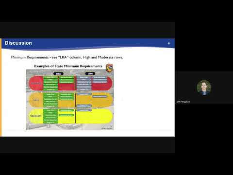
Pingeli summarized legal and practical implications: state law requires local agencies to adopt the Office of the State Fire Marshal's recommended fire hazard severity maps within 120 days of release. Properties mapped as high will trigger a state real-estate disclosure requirement enacted in Assembly Bill 38 (2019); certain ignition- and ember-resistant construction requirements in Chapter 7A of the California Building Code will apply to new construction in those areas beginning Jan. 1, 2026. Pingeli said those Chapter 7A measures are not retroactive and do not require homeowners to retrofit existing buildings, though he noted published cost-impact estimates for meeting Chapter 7A minimum standards range from about 2% to 8% of construction cost, and up to 13% if more substantial options are selected.
Staff noted it cannot reduce a parcel's mapped hazard level; mapping adjustments in Oxnard were limited to extending zone boundaries to parcel edges for clarity, and no parcel's hazard category was lowered or removed in the city-submitted exhibit. Pingeli said the city will post the eight map figures included with the ordinance on the city's website and submit the adopted ordinance to CAL FIRE once the council acts.
Staff recommendation presented to the council was to approve first reading by title only and to waive further reading of the proposed ordinance titled "An Ordinance of the City of Oxnard, California, Adding Chapter 14, Article 14 to the Oxnard City Code Designating Fire Hazard Severity Zones." The transcript includes the recommendation but does not record a motion, second, or the council's vote on the item.
City staff and Oxnard Fire Department personnel, identified in the presentation as having coordinated on the item with Chief Hamilton, were available to answer council questions, according to the staff report and Pingeli's closing remarks.