Assembly postpones Bogard–Selden corridor access-management adoption after neighborhood objections and proposed map edits
Get AI-powered insights, summaries, and transcripts
Sign Up Free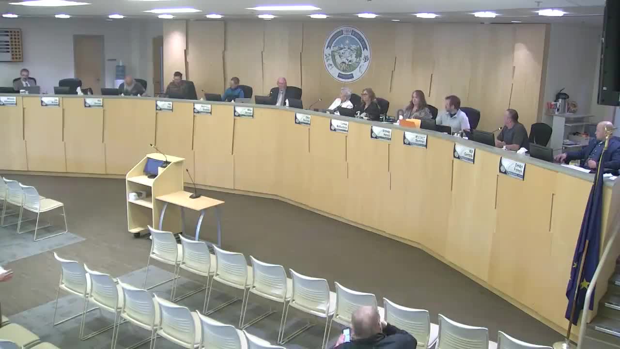
Summary
The Assembly delayed adoption of the Bogard–Selden Corridor Access Management Plan to its June 17 meeting after residents raised safety and access concerns and an Assembly member offered a suite of targeted map and wording edits.
The Assembly on Tuesday postponed action on the Bogard–Selden Corridor Access Management Plan after multiple neighborhood residents raised safety and access concerns and after an Assembly member proposed a series of deletions and map adjustments.
Alex Strahan, borough planning director, said the corridor study — prepared with federal grant funds and consultant HDR — maps recommended access-management tools for the stretch between Glen Highway and Church Road and is intended as a long-term policy guide rather than a construction plan. "Ideally, on a road like this, you would limit access to about a quarter-mile spacing between different access points," Strahan said, while stressing the plan would not force existing driveways to be removed without future project‑level work.
Public commenters were split. Rod Hansen of the North Lakes Community Council urged adoption and said the corridor’s segment from Trunk Road to the Selden roundabout is particularly dangerous and in need of access improvements. By contrast, several Grandview/Woodfield Park residents opposed proposed closures and new connections that would funnel additional traffic through small residential streets near Larson Elementary. "We oppose the recommendation to push East Porcupine Trail onto East Serendipity Loop," resident Renee Blake said, citing school drop‑off congestion and neighborhood safety.
Assemblymember Dimitri Fonoff submitted an amendment packet that removed several recommended closures and realignments and added clarifying map changes. After discussion Assemblymembers agreed additional time and larger maps would help members and the public better assess the plan’s impacts.
The Assembly voted to postpone consideration to the next regular meeting, June 17, and asked planning staff to provide enlarged maps and clearer depictions of proposed access changes for each affected subdivision.
Planning staff said the plan has been used informally in permit reviews already, and that adoption would primarily guide future road-design and right-of-way decisions. Any project recommended in the plan would still require engineering, environmental review and funding before construction.