Lifetime Citizen Portal Access — AI Briefings, Alerts & Unlimited Follows
Colorado spring warmer, drier than normal; Western Slope drought deepens
Loading...
Summary
At the May Water Conditions Monitoring Committee meeting, Colorado Climate Center analysts said spring was broadly warmer and drier than average, with the Western Slope entering more severe drought and parts of the state seeing late-season severe weather.
At the May meeting of the Water Conditions Monitoring Committee convened by the Colorado Water Conservation Board, Colorado Climate Center analyst Ali Mazrick said the state’s spring has been broadly warmer and drier than average, and that drought conditions have worsened on the Western Slope.
“April was warmer and drier than average,” Ali Mazrick, Colorado Climate Center, told the committee. She said the first seven months of the current water year ranked among the warmest on record in many parts of the state and that, aside from a wet November storm, precipitation since then has been below average in most basins.
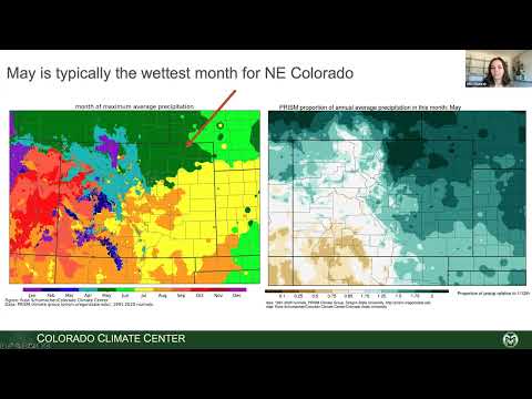
Mazrick told the committee that statewide precipitation for December through April was the fourth driest on record relative to the 1895–2025 baseline and that April marked the seventh consecutive drier-than-average April. She noted a geographic split in May so far: Northern Colorado has run warmer than normal while the southern part of the state has been cooler; precipitation in May has been above average in the south and below average across the northern Front Range and Western Slope.
The presentation summarized recent notable weather: an early-May snow and rain event that produced more than a foot of snow in parts of the Sangre de Cristo and foothills, and a severe wind event on May 14 that generated the second-highest number of wind reports on record for a single day in Colorado. Mazrick also showed images and data on a tornado that occurred east of Denver earlier in May.
On drought, Mazrick highlighted the latest U.S. Drought Monitor release (data through the prior Tuesday) and said the Western Slope had deteriorated over the prior month with a new area classified as D3 (extreme drought). She pointed to beginning-of-season to-date maps showing the Western Slope and parts of northeastern Colorado as the areas with the largest degradations in drought class since October.
Mazrick reviewed short-term forecasts and model uncertainty. She said the 7‑day and 8–14 day outlooks show limited, mostly scattered thunderstorm activity rather than a widespread precipitation event sufficient to reverse deficits, and she emphasized uncertainty in seasonal precipitation outlooks though models converge on an above-average summer temperature signal.
Committee members asked where federal model outlooks (Climate Prediction Center) incorporate American and European ensemble guidance; Mazrick confirmed they do. One participant raised the potential need to highlight environmental and wildfire impacts in the southern half of the state as dryness persists; committee staff said they would consider inviting guest speakers or placing the issue on a future agenda.
The Climate Center presentation concluded with a reminder that neutral ENSO conditions currently prevail, with roughly equal chances of neutral or La Niña redeveloping by fall, and that above-average summer temperatures are the more confident part of seasonal outlooks.
Ending: The committee did not take formal action on the climate or drought presentation; speakers encouraged follow-up Q&A and said the Climate Center would continue to monitor and report updates at future WCMC meetings.