Get Full Government Meeting Transcripts, Videos, & Alerts Forever!
Orem planning commission maps land-use refinements, approves Lakeridge Farms plat with sidewalk waiver
Summary
The Orem City Planning Commission spent a work session updating land-use classifications and buffer ideas for State Street and other corridors, discussed preserving existing affordable housing stock, and approved several consent items including preliminary plat approval for Lakeridge Farms with a curb-adjacent sidewalk waiver for the cul‑de‑sac.
The Orem City Planning Commission met on May 21, 2025, for a work session and regular meeting in City Council Chambers to continue review of the city’s general plan land‑use maps and to consider several consent‑agenda items. Commissioners spent most of the work session marking up the existing land‑use map, discussing new classification types and buffer areas along State Street and other corridors, and debating whether and how to preserve older, smaller housing that can provide affordable units. In the regular meeting the commission approved several consent items, continued the May 7 meeting minutes to the next meeting, and approved a preliminary plat for Lakeridge Farms (840 West 600 South) that included a waiver to place the cul‑de‑sac sidewalk curb‑adjacent instead of behind a park strip.
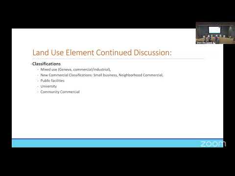
Commissioners and staff said the work session aimed to identify a short list of land‑use classifications and future studies the commission should address as the general‑plan update continues. “We went through the goals and objectives…we thought it would be interesting for the purpose of updating the land use map…to come down and draw actually on the existing land use map, mark it up,” a staff member said as the group began the mapping exercise. Staff presented a list of potential new classifications and buffer types and invited commissioners to identify additional areas for study, including segments of Geneva Road, the State Street corridor, the mouth of Provo Canyon and several neighborhood nodes.
Why this matters: Commissioners framed the mapping work as the first step in a multi‑stage update to the general plan. They said clarifying where the city wants…
Already have an account? Log in
Subscribe to keep reading
Unlock the rest of this article — and every article on Citizen Portal.
- Unlimited articles
- AI-powered breakdowns of topics, speakers, decisions, and budgets
- Instant alerts when your location has a new meeting
- Follow topics and more locations
- 1,000 AI Insights / month, plus AI Chat