Get Full Government Meeting Transcripts, Videos, & Alerts Forever!
Get email alerts on the Land Use Riverfront topic
No spam. Unsubscribe anytime.
City presents emerging concepts for Redding Riverfront specific plan; council seeks refinements after public feedback
Summary
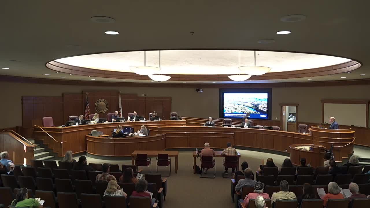
City of Redding staff and consultants on Tuesday presented emerging concepts for the Redding Riverfront Specific Plan, outlining options to enlarge habitat restoration, consolidate civic venues and redesign Highway 44 as a boulevard.
City of Redding staff and consultants on Tuesday presented emerging concepts for the Redding Riverfront Specific Plan, outlining options to enlarge protected river habitat, create a continuous River Greenway trail and reorganize civic venues near the Civic Auditorium and rodeo grounds.
The presentation by Jeremy Pagan, the city’s director of development services, and consultants from MIG described a planning process that has included coalition meetings, public workshops and an indigenous listening session. Daniel and Dan from MIG said the current materials are an early ‘‘framework’’ and not a final plan.
Why it matters: the plan would guide land use, design standards, mobility improvements and environmental protections for roughly 380 acres along the Sacramento River. Council and residents said the plan could shape the city’s riverfront character for decades and must balance recreation, habitat and private-property rights.
Key proposals highlighted by presenters included: a 300‑foot setback from the top of bank for portions of the northern riverfront to expand habitat restoration; a “front lawn” active‑recreation node near the Civic Auditorium; mixed‑use parcels concentrated away from the river; a consolidated civic/cultural/rode o district with three options ranging from focused upgrades to a single modern venue; and alternatives for Park Marina Drive and a River Greenway multi‑use trail for the southern riverfront.
Consultants noted community support for stronger river setbacks and habitat restoration, an indigenous cultural area adjacent to the river, and more pedestrian and bicycle connectivity. They also flagged mixed reactions to a conceptual redesign of Highway 44 from an interchange into a city boulevard, which would create new intersections and secondary access but would require state coordination and likely large costs.
Residents and stakeholders who spoke at public comment were sharply divided. Homeowners from the Park Marina Village Homeowners Association urged that trail and street alignments on the draft map be revised to avoid cutting through private gated neighborhoods. Tribal members and environmental advocates pressed for stronger protections and asked that the plan emphasize preservation of riparian habitat and the salmon that depend on it. Some business and market representatives supported water‑oriented commercial improvements in the southern riverfront.
Council response and next steps: Council members thanked staff and the consultants and asked for clearer maps, stronger clarification of where development would and would not be allowed, and more detail about the proposed 300‑foot setback. Council directed staff to prepare a draft specific plan and to proceed with an environmental analysis (EIR) and more public outreach; staff said they would also refine materials to show the setback graphically and revisit how mixed‑use and civic‑venue areas are labeled.
What was not decided: No approvals for development projects were taken Tuesday. The material presented were described by staff and consultants as “emerging concepts.” Any future projects on private property would require separate project approvals and environmental review.
Public process context: Staff and consultants said they plan to prepare a draft plan and launch a formal environmental review process, including traffic, flood and biological studies. The planning team said it would return with draft documents for public hearings before the planning commission and city council.
Lede sources and attribution: Presentation remarks are attributed to Jeremy Pagan, director of development services; Daniel and Dan Amstam of MIG (consultants). Public comments cited in this report were made during the riverfront agenda item and are attributed to the speakers who identified themselves at the meeting.
Ending: Council members said they want clearer visuals and stronger specificity before any regulations are proposed; staff said they will return with a draft specific plan and environmental analysis later in the process.