Get Full Government Meeting Transcripts, Videos, & Alerts Forever!
Get email alerts on the Land Use Rezoning topic
No spam. Unsubscribe anytime.
Planning board backs future-land-use change, rezoning for Bridal auto-auction site on U.S. 1792
Summary
The Winter Springs Planning and Zoning Board on June 5 recommended that the City Commission adopt a future land-use map amendment and rezone 333 N. U.S. Highway 1792 (Bridal Auto Auctions) from Seminole County industrial/M‑1 to City of Winter Springs commercial/C‑2, subject to conditions in a development agreement.
The Winter Springs Planning and Zoning Board (Local Planning Agency) on June 5 recommended that the City Commission adopt an ordinance to change the future land-use designation of a 333 N. U.S. Highway 1792 parcel from Seminole County industrial to City of Winter Springs commercial, and a companion ordinance to rezone the property from Seminole County M‑1 to City of Winter Springs C‑2. The recommendation was unanimous.
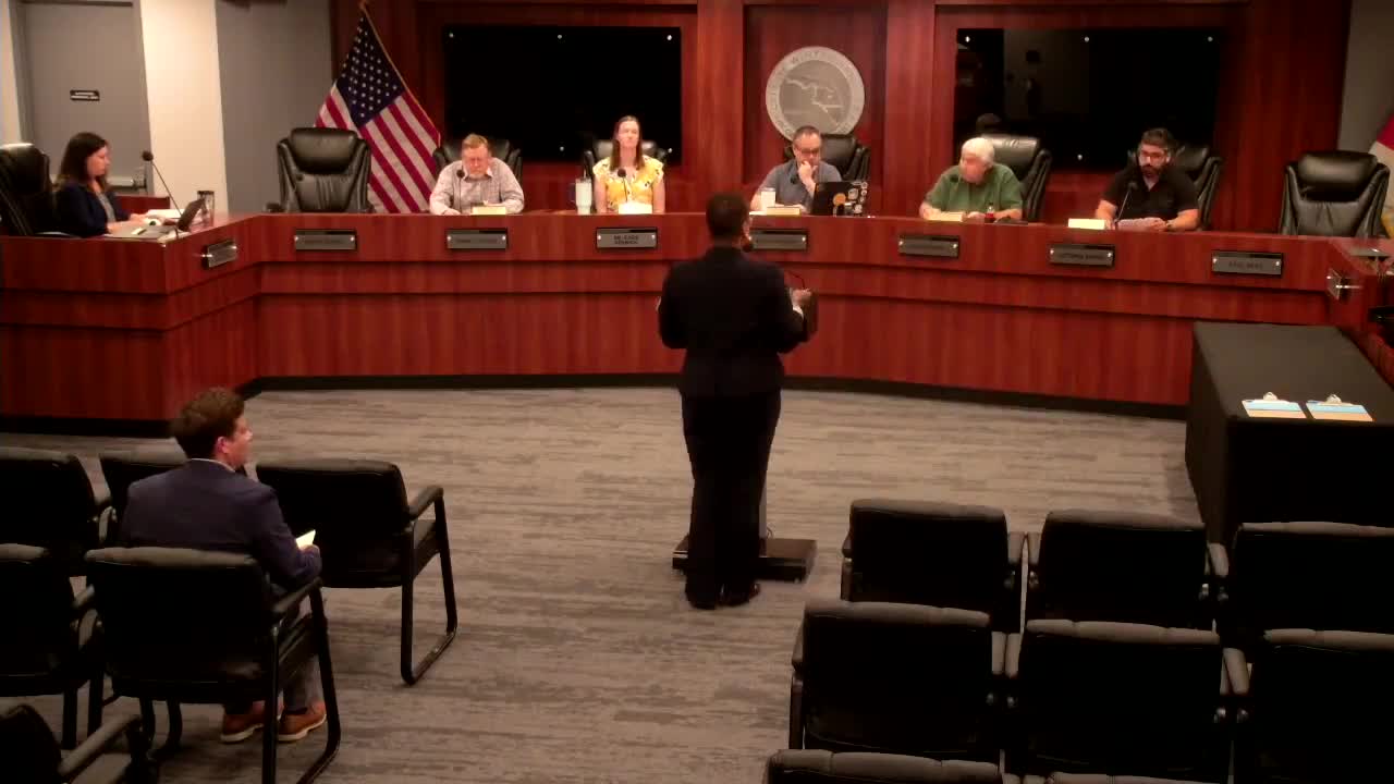
Tara Lindrell, director of community development, told the board the property—identified in the report as the Bridal Auto Auctions site—was annexed into the city in 2023 and requires a local future-land-use designation and zoning. “The proposed use is for automobile storage that’s in conjunction with auto sales and auction,” Lindrell said during her presentation.
The board heard staff reasoning that a commercial future-land-use designation is preferable because it excludes several industrial uses that the city views as having adverse community impacts—examples cited by staff included bottling and distribution plants, auto wrecking lots and dry‑cleaning plants. Lindrell also told the board that the property remains the subject of long‑term EPA cleanup activities; the owner has allowed access for monitoring and the injections the EPA is conducting, and staff said the remediation is a multi‑year process with no direct financial liability to the city for cleanup.
Board members asked whether the change would affect the site’s maximum floor‑area ratio (FAR); staff checked and reported the FAR is 0.5 under both the industrial and commercial designations. Members also asked about access: staff said primary access is from U.S. Highway 1792 and the site has an easement to Shepherd Road but that the easement is about 480 feet from Shepherd Road and may not be used routinely.
There are no structures on the parcel; staff said the site is paved and fenced and that vehicles on the lot appear to be on impervious surface. Notices for the land‑use amendment were mailed May 23 and published in the Orlando Sentinel May 26, per the staff report.
The board voted unanimously to recommend adoption of ordinance 2025‑04 (future land‑use map amendment) and ordinance 2025‑05 (rezoning to C‑2), each subject to the conditions described in the staff report and a development agreement. The recommendations will go to the City Commission for final action.
The board’s motion passed on a roll call of aye votes from Chairperson Ma; Vice Chairperson Michael Ferrante; Board members Rachel Hood, David Makin and Louie Hallal.
What happens next: The City Commission will consider the ordinances at a future public hearing; staff indicated the development agreement and related conditions will be part of that hearing.