Get Full Government Meeting Transcripts, Videos, & Alerts Forever!
Get email alerts on the Fire Hazard Mapping topic
No spam. Unsubscribe anytime.
Council to add public-facing preface as it adopts state wildfire maps; sets effective date to give residents extra time
Summary
After public comment, the council directed staff to add clear explanatory language to the city’s adoption materials for newly released Cal Fire Very High Fire Hazard Severity Zone maps, scheduled a first-reading action in June and set an effective date that preserves a 30‑day statutory transition period ending July 24.
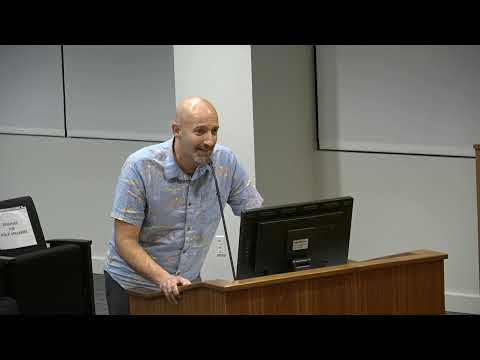
San Clemente’s City Council discussed updated state Very High Fire Hazard Severity Zone maps at length on May 20 and directed staff to add a clear, explanatory cover page for residents that describes what the maps do and do not mean. Councilmembers and members of the public raised concerns that the state maps do not account for local hardening and defensible-space efforts by HOAs and homeowners and that casual readers might assume the maps change insurance rates for individual properties.
Councilmember Cabral said he had asked the city attorney whether other cities had successfully challenged the statewide maps and reported staff found no example of successful litigation to reduce mapped areas; he proposed adding a plain-language preface to clarify that the maps are based on topography, wind, vegetation and fire history and are not intended to be used directly by insurance companies. City staff including Adam Ataman, Community Development Director, and Building Official Robert Ferguson confirmed the maps are state-required and that the city could include additional explanatory materials. Ferguson noted the California Department of Insurance had issued guidance stating Cal Fire hazard maps are not the basis for individual insurance decisions.
Council voted unanimously to (a) ask staff to develop “most favorable and educational” language to accompany the map when the city adopts it, (b) schedule the ordinance first reading for the first June meeting, and (c) set the ordinance to be effective July 24 (allowing a 30‑day window following adoption). Council also continued the public hearing so staff could prepare the revised materials; the hearing will be resumed at the next council meeting after staff presents draft language for the cover/primer.
Councilmembers and staff also discussed implementation implications. Staff said the new designation will increase annual defensible-space inspections by OCFA for city-owned parcels inside the Very High zone and noted the city has applied for a U.S. Forest Service community wildfire protection grant to develop a broader city wildfire protection plan.