Get Full Government Meeting Transcripts, Videos, & Alerts Forever!
Get email alerts on the Boundary Line Adjustment topic
No spam. Unsubscribe anytime.
Subdivision committee approves coastal boundary adjustment for Mendocino property owner Perry Gottsville
Summary
On June 12, 2025, the Mendocino County Subdivision Committee approved Boundary Line Adjustment B2024-0026 to shift parcel lines between 4218 and 4212 Rosemead Creek Road in the coastal zone to accommodate a driveway and a utility right-of-way; the approval requires a revised tentative map showing septic location.
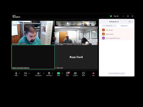
On June 12, 2025, the Mendocino County Subdivision Committee approved Boundary Line Adjustment case B2024-0026, a coastal-permit request to change the boundary between two parcels at 4218 and 4212 Rosemead Creek Road to accommodate a driveway, a utility right-of-way and other encroachments.
The change affects property described in the application as roughly 5.4 miles northeast of Walla Town Center in the coastal zone. Committee members and staff said the county’s Planning and Building Services had no concerns with the proposed adjustment, but Environmental Health requested a condition requiring a revised tentative map that shows the location of the septic system for APN ending in 410-9023.
"Planning and building doesn't have any concerns with this," said Dirk Larson, Planning and Building Services. The applicant, Perry Gottsville, was present but could not be heard because of a microphone problem, committee members said. Melissa Hernandez of Mendocino County Environmental Health recommended approval with a condition requiring an updated tentative map: "I would run a revised tentative map. Yes. Thank you."
The Subdivision Committee moved to approve the adjustment as a coastal permit with conditions. The motion to approve was voiced on the record and the committee recorded "Aye" responses for final passage.
The committee's approval is tied to the coastal permit conditions recorded on the project file and the requirement that the revised tentative map be submitted and included in the final map package.