Get Full Government Meeting Transcripts, Videos, & Alerts Forever!
Get email alerts on the Fire Hazard Severity Zones topic
No spam. Unsubscribe anytime.
Hemet adopts updated state fire hazard severity zone map; council declines to reduce mapped areas
Summary
The council adopted an ordinance updating Hemet’s fire hazard severity zones to reflect California Department of Forestry and Fire Protection (Cal Fire) 2025 maps, prompting questions about insurance effects and mitigation steps.
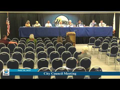
The Hemet City Council voted June 10 to adopt updated fire hazard severity zones produced by the California Department of Forestry and Fire Protection (Cal Fire), amending the Hemet Municipal Code to replace the 2008 map with the 2025 version.
Deputy Fire Chief Ryan Webb and other staff described the state’s methodology for the updated maps, which adds moderate and high categories in addition to “very high” zones. Staff said the maps are hazard assessments based on vegetation, slope, wind and historical fire behavior; they do not measure risk, which also accounts for structure-level mitigation. The state’s mapping process uses historical data from 1991–2020 and additional modeling inputs approved in 2022 legislation.
Staff said Hemet received its county maps in March 2025, published them on the city website April 8 and opened a public comment period. The Hemet Fire Department reviewed public input and recommended no reductions to the state‑issued zones; state law bars local agencies from decreasing zones set by the California State Fire Marshal but allows adding areas not identified by the state.
Residents and council members asked how the changes might affect insurance premiums and whether Hemet is coordinating mitigation with neighboring jurisdictions such as San Jacinto. Staff said the State Fire Marshal has stated insurers use risk models rather than the state’s hazard maps and that insurance decisions are made by companies using their own models. Fire staff confirmed ongoing coordination with Cal Fire and said Hemet has applied for Community Wildfire Protection Plan (CWPP) grants that would fund a consultant to evaluate wildfire risk citywide and make the city eligible for state funding to implement mitigation plans.
Staff outlined implications for new and existing construction: buildings in very high zones must meet California Building Code Appendix 7A for fire‑resistant materials; new construction may trigger vegetation management, defensible space requirements and, in some cases, fire protection plans or environmental review. Existing structures will be expected to maintain 100 feet of defensible space where required. Staff directed residents to the city’s community risk reduction web page for guidance.
The council voted 5–0 to introduce and waive further reading of an ordinance amending Section 14‑4‑17 of the Hemet Municipal Code to adopt Cal Fire’s updated map; subsequent formal adoption steps in the ordinance procedure were read into the record as part of the motion.
Council members asked staff to pursue grant opportunities and coordination with San Jacinto on shared wildland areas such as Park Hill and McSweeney Farms. Staff said the CWPP would guide project priorities and that state funding would support implementation.