County fire officials brief Upland on new Local Fire Hazard Severity Zone maps; homeowners in foothills newly affected
Loading...
Summary
San Bernardino County Fire presented updated Local Fire Hazard Severity Zone maps and a required timeline for local action, warning homeowners in parts of Upland — including areas near Tesla and the campus corridor — that they face new or expanded 'high' and 'very high' classifications requiring disclosures and future building‑code measures.
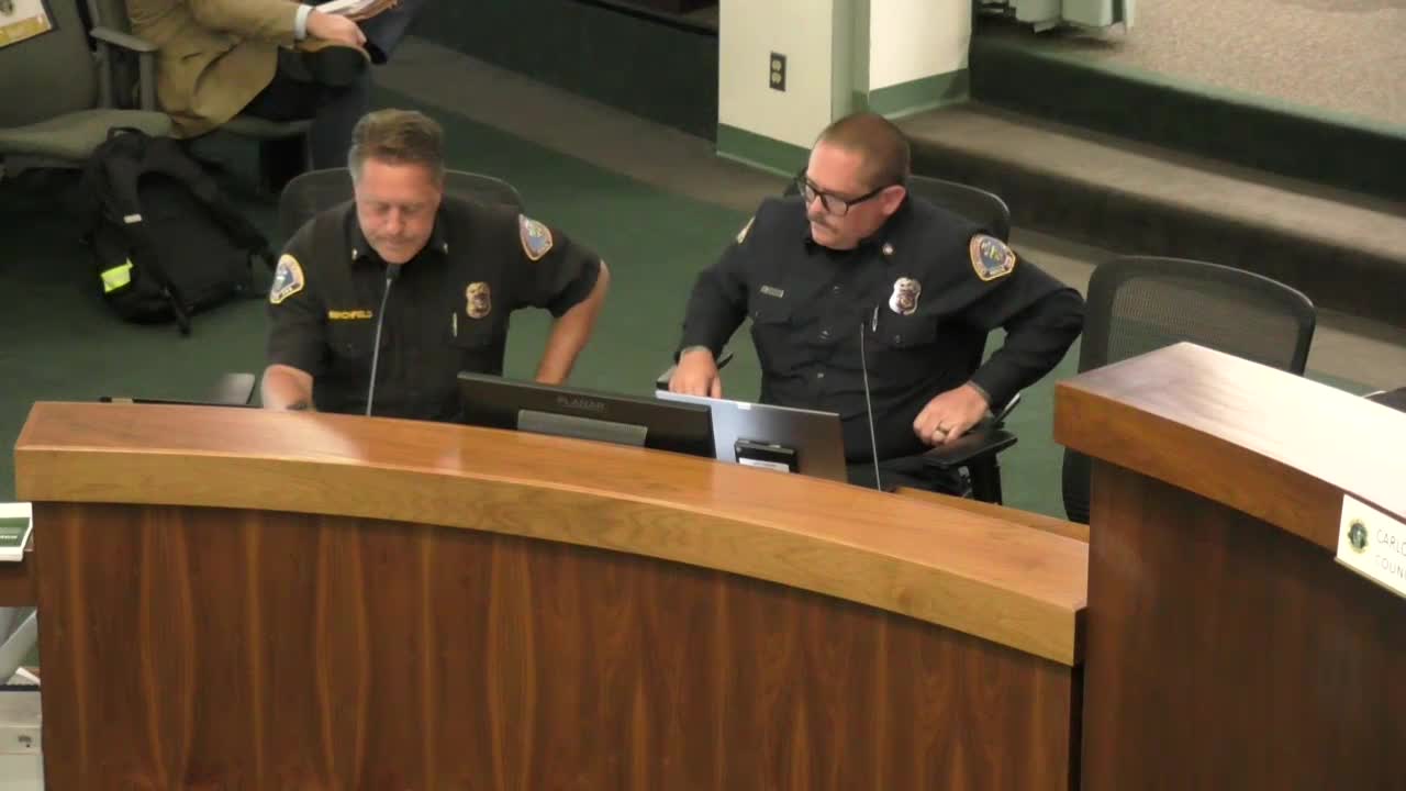
San Bernardino County Fire officials briefed the Upland City Council on June 9 about recently released Local Fire Hazard Severity Zone maps and the steps homeowners and the city must take under state law.
Assistant Chief Jeff Birchfield and Assistant Fire Marshal Curtis Markoff explained the state fire marshal released zone recommendations this spring and that California law now requires local agencies to adopt designations (moderate, high and very high) within 120 days of receiving the recommendations. The county will adopt zone designations for areas within its jurisdiction; local agencies must designate zones for areas in their jurisdiction according to government code requirements.
What changed for Upland County staff showed map layers indicating an expansion of mapped areas in Upland and said recent modeling assigned more parcels into high and very‑high categories compared with older maps. Staff cited the area south of the 210 Freeway (near the Tesla facilities and the Campus Avenue corridor) and the ridge above Campus as newly or more clearly designated ‘very high’ fire hazard severity zones. County Fire told the council that for Upland the updated map shows roughly 481 parcels in the very high zone, 534 in high zones and 237 in moderate zones (an increase of about 100 parcels from prior map releases reported in 2011).
Key requirements and timeline - Natural hazard disclosure: Sellers must include fire hazard designations in real‑estate disclosures for properties located in high and very high zones. - Building code consequences: New construction located in very high severity zones must comply with Chapter 7A of the California Building Code by July 22, 2025; new construction in high zones will be subject to Chapter 7A starting Jan. 1, 2026, and the State Fire Marshal may later require similar standards in moderate zones. - Defensible space: Government code provisions and the wildland‑urban interface standards require defensible‑space clearances (and staff described a common defensible‑space guideline of up to 100 feet to the property line or to the structure, whichever is greater). - Public notice and comment: County Fire published maps and a public comment portal in late March and April. Birchfield said notices were posted on the county and city websites and circulated on social media; he said a public comment period closed and that the Board of Supervisors had scheduled readings to adopt the local designation.
What to expect next County Fire said the maps themselves are not a direct legal action on insurance (Cal Fire and the State Insurance Commissioner have said the maps are not an immediate insurance action) but acknowledged homeowners are concerned about future insurance availability and rates. Sheriff and council members urged county staff to confirm direct mail notice to affected homeowners; county staff said maps and comment instructions were posted publicly and that the Board of Supervisors was scheduled to act promptly.
Community outreach and mitigation County Fire said it will mail information to affected parcels in the orange (high) and red (very high) zones and will offer engine company inspections and a residential assistance program (RAP) that allows residents to schedule on‑site reviews and receive home‑hardening and defensible‑space guidance. Birchfield said San Bernardino County Fire will work with Upland to co‑host defensible‑space workshops and to coordinate communication via the city’s social channels.
Ending Council members said they want joint outreach with county staff and workshops for affected residents. County Fire reiterated that the purpose of the state mapping and local work is to increase public safety and give homeowners the information needed to prepare ahead of wildfire season.