Get Full Government Meeting Transcripts, Videos, & Alerts Forever!
Get email alerts on the Maps Wayfinding topic
No spam. Unsubscribe anytime.
Norwood updates trail maps, QR codes and website pages; committee weighs kiosks and loaner kits
Summary
Planning staff posted updated trail maps and QR codes to the town site. The committee discussed adding disclaimers that some trails are works in progress, kiosks at trailheads and a library-style loaner kit with field guides and binoculars.
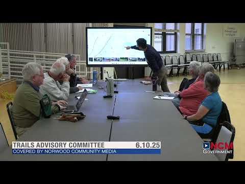
Norwood — Committee members said the town’s planning office has posted updated trail maps and QR codes on the municipal website and that several temporary maps are now available to download. Members discussed next steps for wayfinding, kiosks and public outreach.
What’s changed: staff added three trail maps (Ledgeview, Meadow and Pine Tree Forest) with QR codes for digital access and placed them on the TrailsMap page of the town site. Committee members thanked planning staff for the work and asked for a short disclaimer to note that some trail routes are proposed or seasonally variable.
Kiosks and signage: committee volunteers proposed placing a kiosk near the pipe‑gate/U-Haul parking area to consolidate trail information, maps and a QR code. They discussed who owns specific land parcels and said they would seek permission from property owners and the rental operator where needed.
Loaner kits and outreach: members highlighted a model seen at another library: check‑out “kits” containing magnifying glasses, journals, simple field guides and binoculars for short-term loan. The committee discussed trialing a small “trail library” at a busy trailhead or using the library’s existing “library of things” as a staging point.
Why it matters: better signage and accessible printed and digital maps would reduce confusion about proposed routes and encourage responsible trail use. Committee members said the farmer’s market would be a good place to distribute print materials and gather public feedback.
Next steps: committee members asked the planning office to add a brief disclaimer to the TrailsMap page, proceed with QR code placement on temporary maps, and help identify an appropriate kiosk location and ownership permissions. Volunteers will continue outreach at community events.
Ending: With maps now posted, the committee said it will focus on wayfinding, kiosk siting and a pilot for a loaner kit program.