Get Full Government Meeting Transcripts, Videos, & Alerts Forever!
Get email alerts on the Gsp Subsidence topic
No spam. Unsubscribe anytime.
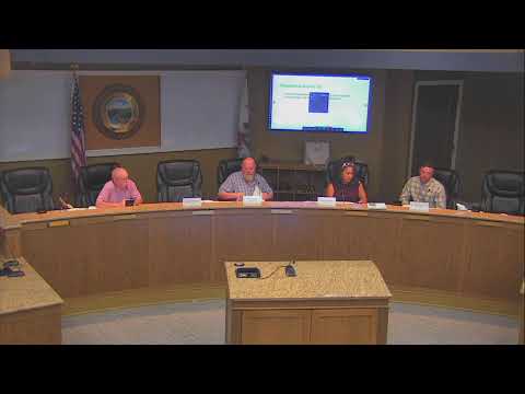
Wyandotte Creek GSA adopts subsidence monitoring SMCs consistent with neighboring basins
Summary
After a staff presentation and public questions, the board voted to adopt subsidence sustainable‑management criteria that use satellite InSAR (NSAR) monitoring and set interim milestones at 0.25 foot per five years and a minimum threshold of two feet over 20 years (Option 1).
Becky Fairbanks, the Sigma grant project manager, introduced proposed amendments to the Wyandotte Creek Groundwater Sustainability Plan as part of the required periodic evaluation and said the board must address subsidence monitoring and sustainable‑management criteria (SMCs).
Ryan Fulton, a consultant with LWA, explained that DWR expects subsidence to be measured directly using NASA‑style SAR (referred to in the meeting as NSAR) instead of relying solely on groundwater levels as a proxy. Fulton presented two SMC options for the board's consideration: Option 1, aligned with neighboring Sacramento Valley subbasins, sets interim milestones at 0.25 foot over five years, a measurable objective (MO) of 1 foot over 20 years and a minimum threshold (MT) of 2 feet over 20 years; Option 2 tightens interim milestones and the MO to 0.1 foot to reflect a regional goal of near‑zero subsidence while keeping the MT at 2 feet.
Board members asked about natural causes (for example earthquakes) and whether an event unrelated to groundwater pumping could trigger a subsidence finding. Fulton said the SMC structure and the monitoring network tie NSAR pixels to nearby groundwater level sites so staff can investigate whether subsidence correlates with groundwater level declines and distinguish other causes. Fairbanks and Fulton said NSAR data are publicly available to the GSA and NSAR measurement uncertainty is approximately plus/minus 0.1 foot; areas with modeled subsidence between about 0.07 and 0.25 feet appeared on the presentation slides.
Public comment raised orchard maturation and future water demand; Fulton said the GSP allows adaptive management and additional recharge projects can be added if demand increases.
After discussion, a board member moved to adopt Option 1 SMCs, a second was given, and the board approved the motion by roll call.
Ending: Staff will update the GSP monitoring network and Section 3.7 (land subsidence SMCs) and will incorporate NSAR‑based monitoring at about 31 groundwater monitoring locations; the board directed staff to prepare the formal plan amendment and supporting evaluation for submittal to DWR.